The Penang Geographic Information System (PEGIS) Centre received the Special Achievement in GIS (SAG) Award for their cutting-edge app called e-Peta, which plays a vital role in facilitating effective collaboration amongst the local government and various socio-civic organisations.
The SAG award is a prestigious global technology award and was presented to PEGIS officials by Esri president, Jack Dangermond, during the Esri International User Conference in San Diego, California.
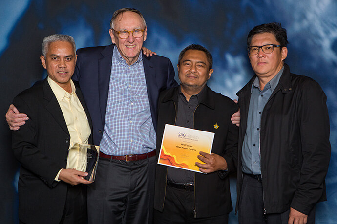
PEGIS was selected to receive the award from among more than 300,000 international commercial and public sector organisations in recognition of its innovative use of geographic information system (GIS) technology to solve real-world challenges.
Developed in 2014, e-Peta uses location-based analytics to integrate authoritative data from various government departments and display layers on a dynamic smart map.
The application has supported government projects and day-to-day operations of agencies — such as the Town Planning & Development Department, Penang Island City Council and Seberang Perai Municipal Council — and advanced the advocacies of various non-profit organisations including George Town World Heritage Incorporated (GTWHI), the Penang Botanic Gardens, Penang Women’s Development Corporation (PWDC), among others.
e-Peta helped decision-makers at alms collection organisation, Pusat Urus Zakat, to locate Muslim households and analyse their corresponding demographic data in order to determine their needs and identify who should give and receive alms.
Esri Malaysia CEO, CS Tan, said the award shows recognition of PEGIS Centre’s commitment to help make Penang a great place to live, work and play.
“The award is a testimony of PEGIS’ commitment to create sustainable solutions that meet both the present and future needs of the city,” Mr Tan said.
Receiving the award on behalf of his team, PEGIS Coordinator Mr Abdul Azhar Bin Ibrahim said, “We are very honoured to receive this award and see our use of location-based analytics technology transform how we serve our communities.”
“e-Peta has played a critical role in helping us create smarter ways to address issues and challenges in the community. We look forward to working with Esri Malaysia to see how we can maximise the use of location analytics technology to create more meaningful services for the people,” Mr Azhar said.