You are here News and events News News Search news Search by year All202620252024202320222021202020192018201720162015201420132012 Tags - Any -3DABSAECAgileAgribusinessAgricultureAnalyticsAppsAppStudioArcGISArcGIS 10.5ArcGIS 10.6ArcGIS EnterpriseArcGIS HubArcGIS IndoorsArcGIS MonitorArcGIS OnlineArcGIS ProArtificial intelligenceAsset managementAugmented realityAustralian Bureau of StatisticsAutodeskBankingBIBig DataBig Data AnalyticsBIMBorder PatrolBusinessBusiness IntelligenceCadastreCalifornia CoastlineCitizen engagementCloudCloud computingCloud GISCollectorCommercialCommercial propertyCommunityContentCoronavirusCouncilCOVID-19CrisisCrowdsourcingDataData analyticsData visualisationDeep learningDefence and intelligenceDekhoDesignDigital transformationDisruptive appsDronesE-governmentE-IdamanEducationEISBeLearningElectionElectorateElectricElectricityEmergency managementEmergency responseEmergency servicesEMUC 2018 - AdoptEMUC 2018 - Afternoon plenaryEMUC 2018 - DeepenEMUC 2018 - ExtendEMUC 2018 - PlenaryEMUC 2019 - ExtendEnergyEnergy, oil, gas and renewablesEngineeringEnterprise GISENVIEnvironmental managementEsriEsri AustraliaEsri MalaysiaEsri Petroleum ConferenceEsri UCEsri Young Scholars AwardEventsFederal governmentFinancial institutionsFinancial servicesFood securityForestryForresterGasGDA2020GDA94Geo hubGeoAIGeoAnalyticsGeographic datumGeographic Information SystemsGeoInnovation AwardGeoInnovation AwardsGeospatial AnalyticsGISGIS for healthGIS for schoolsGIS in land administrationGIS in Telecommunications - featureGIS managerGIS server softwareGIS technologyGIS web servicesGovernmentHealthHealth and human servicesHomeland SecurityIcon WaterIDLImageryImpact AwardsIndoor navigationInnovationInsights for ArcGISInsuranceInsurance and BankingInteractive mapsInternet of ThingsInternshipInteroperabilityIoTJack DangermondJavaScriptKerajaan Negeri SembilanLand AdministrationLand managementLaura DangermondLaw enforcementLive dataLive sensorsLocal governmentLocation intelligenceLocation-based analyticsLogisticsMachine learningMappingMapping and chartingMapsMaritimeMediaMicrosoft AzureMiningMobileMobile applicationsMobile GISMount AgungMRT CorpNational developmentNational SecurityNot for profitOH&SOiloil & gasOpen dataOpen platformOperational awarenessOz MineralsOzriPartnershipPetroleumPETRONASPlanningPortsPredictive analysisProductsPublic safetyPublic sectorQueensland GlobeRaster dataReal-time analyticsRemote sensingResilient communitiesResourcesRetailROISaaSSabah Lands and Surveys DepartmentSafe communitiesSAG AwardsSAPSAR ImagerySARscapeSatellite imagerySensorsSmart citiesSmart communitiesSmart transportSmarterWXSoil healthSolar eclipseSpatial data infrastructure solutionsSpeculative designStartupsState governmentStory mapsSupply chain managementSurvey123Sustainable developmentTelcoTelecommunicationsTrainingTransformationTransportTransport analyticsTransport and InfrastructureTransportationUIUnearthed ChallengeUnited NationsUnmanned Aerial VehiclesUrban analyticsUrban planningUser experienceUser interfaceUser researchUtilitiesUtility networkUXUXGVirtual realityWaterWaterfallWeb GISWHOWorking lands MaCGDI wins global tech award MaCGDI wins the 2016 Special Achievement in GIS (SAG) award for MyGOS application, a mission-critical decision-making tool supporting public services. Learn more Smart mapping app improves community services in Penang An advanced smart mapping application called e-Peta uses advanced location technology to give decision-makers in Penang a tech-savvy way of improving services to the community. Learn more Industry leaders turn to GIS to maximise value Industry leaders and government organisations are turning to advanced smart mapping technology to achieve the greatest benefit from their infrastructure. Learn more News JUPEM earns global recognition for latest geospatial project JUPEM received the Special Achievement in GIS (SAG) Award for their efforts to promote the use of geospatial information in Malaysia through the ground-breaking Geospatial Data Acquisition System. Learn more News Sarawak sets new benchmark for property registration Sarawak's Land and Survey Information System (LASIS) made headlines as it managed to drastically shorten property registration processes across the state from one month to a single day. Learn more News Malaysia's smart cities best built with GIS The growing number of smart cities in Malaysia are best built leveraging state-of-the-art mapping technology which integrates data from multiple sources across organisations. Learn more News Geographic insights protect vulnerable communities Geographic insight, delivered through a combination of authoritative spatial data and GIS technology, offers disaster relief agencies the greatest vantage point for determining how to best respond to an emergency. Learn more News Protecting Penang's cultural heritage The rich colonial heritage and globally recognised architecture of Penang have been documented in a virtual smart map to preserve George Town's cultural legacy. Learn more My 2015 Esri UC experience Learn more Top tech takeaways from 2015 UC Learn more Smart maps are transforming crime fighting, says global expert Learn more 28th SEA Games names Esri Singapore Smart Map Partner Learn more Shaping the future of crime-fighting in Singapore Learn more Location analytics in Malaysia's banking industry Learn more Smart mapping technology is the future of crime fighting in Malaysia Learn more Smart map offers rare glimpse of Singapore's past Learn more Global competition awards tech-savvy students Learn more ArcGIS Pro to revolutionise desktop mapping Learn more Expert: Smart mapping technology can boost local government revenues Learn more Demand for smart mapping skill sets soars in Indonesia Learn more Load More
MaCGDI wins global tech award MaCGDI wins the 2016 Special Achievement in GIS (SAG) award for MyGOS application, a mission-critical decision-making tool supporting public services. Learn more
Smart mapping app improves community services in Penang An advanced smart mapping application called e-Peta uses advanced location technology to give decision-makers in Penang a tech-savvy way of improving services to the community. Learn more
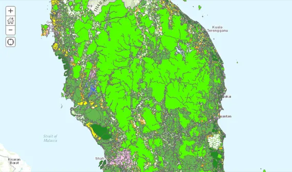
Industry leaders turn to GIS to maximise value Industry leaders and government organisations are turning to advanced smart mapping technology to achieve the greatest benefit from their infrastructure. Learn more
News JUPEM earns global recognition for latest geospatial project JUPEM received the Special Achievement in GIS (SAG) Award for their efforts to promote the use of geospatial information in Malaysia through the ground-breaking Geospatial Data Acquisition System. Learn more
News Sarawak sets new benchmark for property registration Sarawak's Land and Survey Information System (LASIS) made headlines as it managed to drastically shorten property registration processes across the state from one month to a single day. Learn more
News Malaysia's smart cities best built with GIS The growing number of smart cities in Malaysia are best built leveraging state-of-the-art mapping technology which integrates data from multiple sources across organisations. Learn more
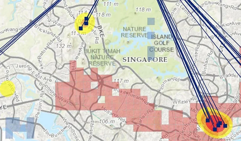
News Geographic insights protect vulnerable communities Geographic insight, delivered through a combination of authoritative spatial data and GIS technology, offers disaster relief agencies the greatest vantage point for determining how to best respond to an emergency. Learn more
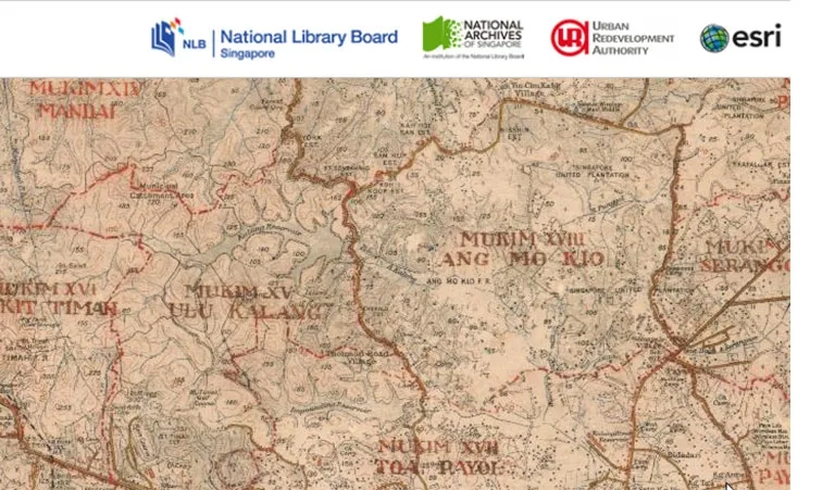
News Protecting Penang's cultural heritage The rich colonial heritage and globally recognised architecture of Penang have been documented in a virtual smart map to preserve George Town's cultural legacy. Learn more