
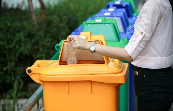
Keeping cities clean with GIS
A collaborative platform is driving operational efficiencies in waste management.
Ready to share your GIS content with the world?
Join our hands-on ArcGIS course to turn your maps and data into interactive web experiences. Pre-registration required.

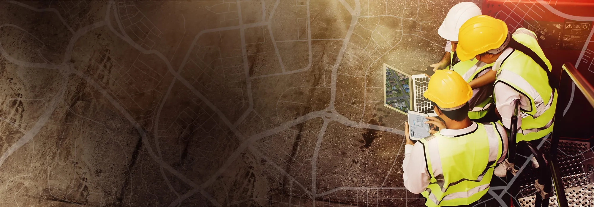
Spatial data infrastructure
Developing a single point of truth for location information.

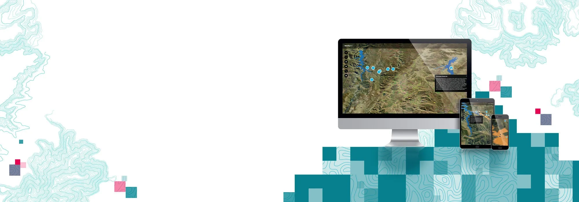
Intelligent water management begins with GIS
Optimise your water cycle, gain actionable insights, and make smarter decisions.