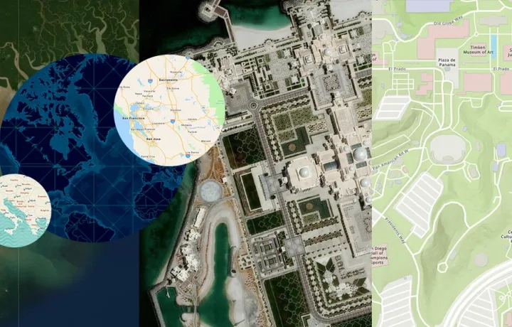
Revolutionise your workflows with powerful imagery and remote sensing tools.
Key benefits of ArcGIS imagery and remote sensing
Whether you’re managing urban development, monitoring flood risks, or maintaining public assets, ArcGIS imagery and remote sensing tools deliver:

Actionable insights
Monitor land use, environmental change, and infrastructure with satellite and drone imagery in real time.

Scalable solutions
Apply ArcGIS imagery analysis to small projects or enterprise-scale operations with flexible, configurable tools.
Advanced technologies
Leverage high-resolution imagery, LiDAR mapping, hyperspectral and multispectral data for deeper spatial analysis.
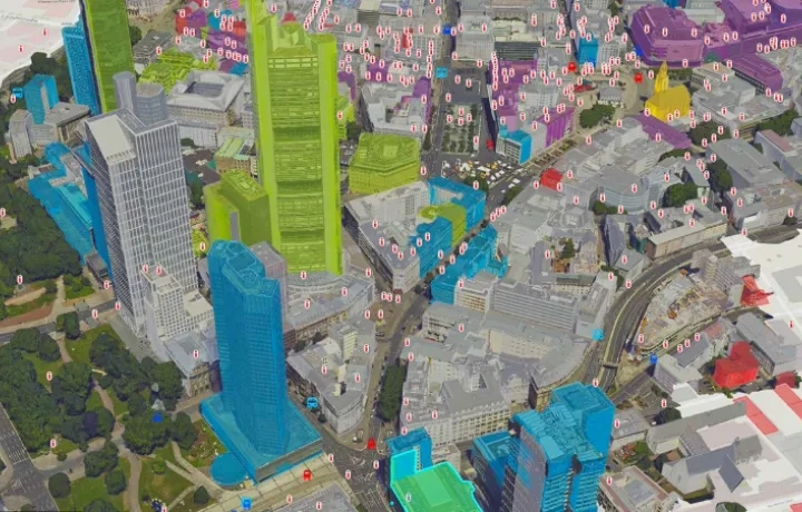
Step 1 - Data capture
Data is collected using satellites, drones, and aerial sensors. These technologies work across multiple wavelengths - visible light, hyperspectral, and multispectral imaging - to provide a detailed view of the Earth's surface.
Step 2: Processing
Raw data is refined through geometric corrections, calibration, and enhancement processes. Methods like photogrammetry and Light Detection and Ranging (LiDAR) mapping ensure high precision and accuracy, producing actionable datasets that meet your specific requirements.
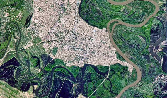
Step 3: Analysis
Processed data is analysed using GIS and spatial analysis tools. Applications include monitoring vegetation health, planning urban development, managing natural disasters, and conducting environmental impact assessments. Deliverables range from detailed 2D maps to 3D models and digital twins.
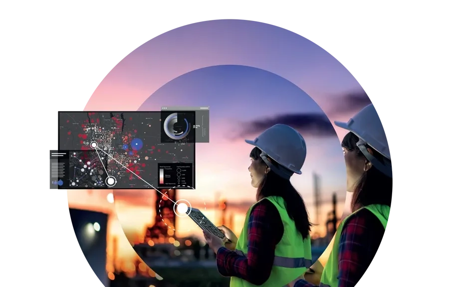
Step 4: Integration
The insights gained are seamlessly integrated into GIS platforms (like ArcGIS), enabling you to visualise spatial relationships, track changes over time, and make real-time, data-backed decisions.