
Esri Malaysia | Home

Main navigation Malaysia

  • Industries
    • Commercial
      • Architecture, engineering and construction
      • Electricity
      • Insurance and banking
      • Oil, gas and renewable energy
      • Plantation
      • Retail
      • Telecommunications
      • Transport and logistics
      • Water
    • Government
      • Central government
      • Citizen engagement
      • Demographics and statistics
      • Emergency management
      • Health and human services
      • Land management
      • Law enforcement
      • Local government
      • Mapping and charting
      • National security
      • Public works
      • Safe communities
      • Smart communities
      • Spatial data infrastructure
      • State government
    • Community
      • Education
      • Esri Young Scholar Award
      • Non-profit
  • Products
    • Capabilities
      • Digital twins
      • Field operations
      • Imagery and remote-sensing
      • Real-time visualisation and analytics
      • Spatial analytics
    • About ArcGIS
      • ArcGIS Online
      • ArcGIS Pro
      • ArcGIS Enterprise
      • ArcGIS Location Platform
      • ArcGIS Developer
      • ArcGIS for Personal Use
      • ArcGIS Online free trial
      • See other Esri products
    • Applications
      • E-government solutions
      • Apps for the Office
      • Field Operations
      • Apps for the Community
      • Geo-Precision Agriculture Solution
      • NV5 Geospatial
    • Data
      • GIS data
      • Open Data
      • Data Interoperability
      • Open Standards
      • Esri’s Open Vision
  • Services and support
    • Professional Services
      • ArcGIS maintenance
      • Project deployment & support
      • Business consultancy
      • Project advisory support
      • Service credits
      • Service Plus Package
      • Enterprise support
      • Embedded engineer
      • Enterprise GIS consulting
      • ArcGIS Enterprise upgrade
      • Disaster Response Program
    • Technical support
      • Esri Support App
      • Support request
    • Training
      • Training calendar
      • Training courses
      • Training FAQs
      • Submit a training enquiry
    • ArcGIS resources
      • A quick-start guide to ArcGIS Pro
      • ArcGIS user types
      • ArcGIS product licensing
  • News and events
    • News
      • Subscribe to news
    • Blog
    • Podcast
      • Esri podcast network
    • Events calendar
      • Webinars
      • Past event presentations
  • About
    • Esri Malaysia
      • Our people
      • Our history
      • Our relationship with Esri
      • Our relationship with Boustead
      • Our partner program
    • GIS technology
      • About Esri
      • Jack Dangermond
      • History of GIS
      • About location analytics
      • Esri Map Gallery
    • Careers
      • Our values
      • Our people
      • Browse jobs
    • Contact us
      • Sales and services (Malaysia)
      • Sales and services (Brunei)
      • Training
      • Support
      • General enquiries
      • Subscribe

You are here

  • Industries
  • Government
  • Smart communities

GIS in smart communities

Connect with a specialist
Smart communities banner illustration

Leverage location-based analytics to gain a clear picture of community issues, real-time incidents, correlations and trends. Devise and plan community strategy driven by smarter decision-making.

Tokyo neighbourhood
Blog Reimagining the world's largest city

Find out how urban planning students are leveraging advanced geospatial analytics to shape the future of Tokyo - and its more than 13 million people. 

More

To learn more about GIS in smart communities, get in touch with an Esri Malaysia specialist by email or call +60 (3) 5022 0122.

Interagency-collaboration-using-GIS
Video Interagency-collaboration using GIS

The PEGIS application, ePeta, plays a vital role in facilitating effective collaboration among local government departments and agencies in Penang.

More
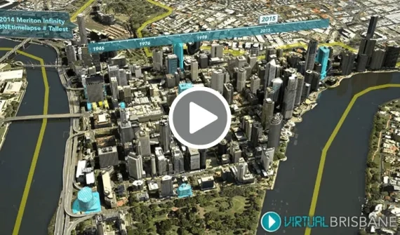
Brisbanes virtual 3D city model
Video Brisbane's virtual 3D city model

Take a tour of the innovative, computer-generated 3D model of Brisbane supporting the sustainable urbanisation of one of Australia's fastest growing cities. 

More
Depok-makes-smarter-decisions-faster
Video Depok makes smarter decisions, faster

City of Depok's smart city portal connects government agencies, enabling better engagement with the community.

More
Esri Malaysia | Home

Footer menu

  • Sitemap
  • Privacy
  • Website Terms and Conditions

© 2026 Esri Malaysia All rights reserved.