To find out more about Drone2Map for ArcGIS, email us or call +60 (3) 5022 0122.
Imagery products in ArcGIS, on demand
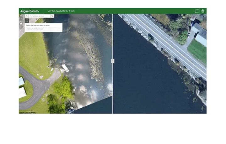
2D imagery products
ORTHOMOSAIC
Get updated aerial views at the click of a button. Create your own basemaps, perform image analysis and measure features.
ELEVATION PRODUCTS
Create topographic models of your project area with highly-detailed digital terrain models and contours.
3D imagery products
VISUALISATION
3D textured support modelling, planning and collaboration on any scale.
ANALYSIS
3D point clouds enable analysis of natural and built-up features including volumetric measurements, change detection, lines of sight and obstructions.
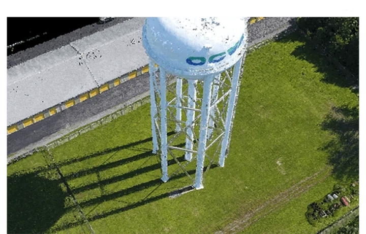
Inspection capabilities
View your assets from all angles and inspect fixed assets that may be difficult to access with imagery visualisation from multiple points-of-view.
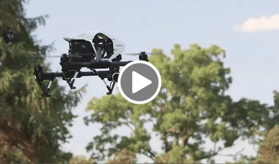
How it's been used

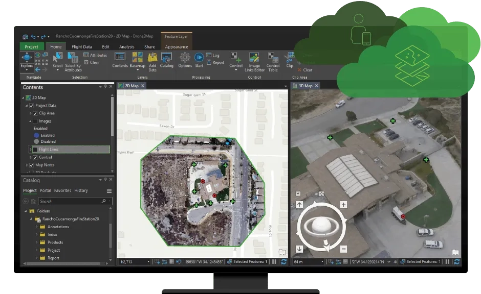
Works across the ArcGIS platform

ArcGIS Online
Share your Drone2Map products directly to ArcGIS Online or Portal for ArcGIS for collaboration across your organisation.

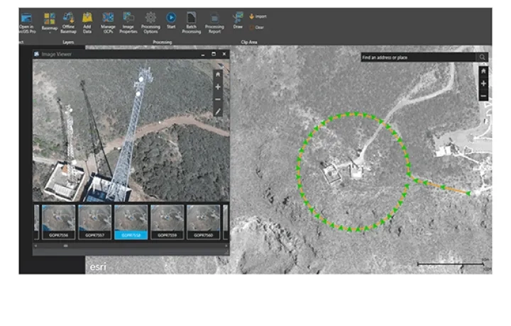
ArcGIS Pro
Calculate volume and elevation profiles directly from Drone2Map. Launch your imagery products into ArcGIS Pro with the click of a button to access advanced analysis workflows.

ArcGIS Enterprise
Share 2D imagery in its native format and resolution for cataloguing, search and discovery and analysis at scale.