
ArcGIS Urban is an immersive 3D experience designed to improve urban planning and decision-making. Quickly visualise projects in your local context and leverage location intelligence to drive better decisions. Be more proactive and less reactive in your planning process. Simplify project collaboration across internal agencies and public stakeholders.
Share a map based view of planning and construction
ArcGIS Urban is much more than a product to help you design, manage and measure the impact of your plans. It is a new way of collaborating across departments and agencies to make the right decisions for the community.
A digital twin as context for change
Provide a 3D model of the city and contextual information to review performance and drive decision making.

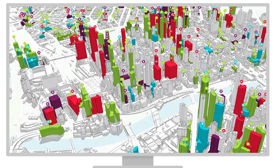
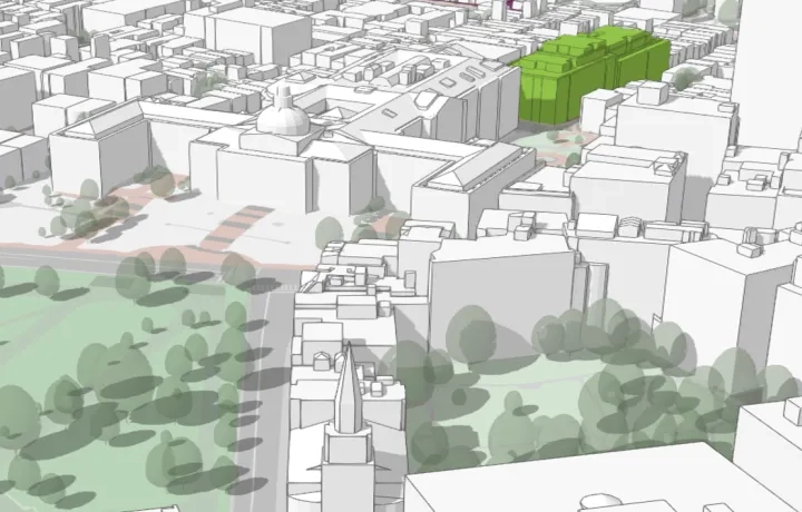
Visualise projects citywide, using a 3D base map, enhancing transparency and understanding.

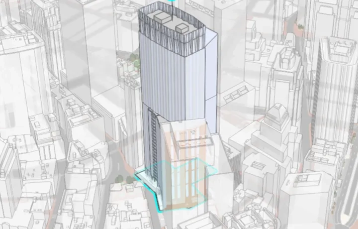
Visualise, track, and review development projects throughout their life cycle.

Report on citywide performance indicators and communicate trends to public and private stakeholders.

Simple community involvement to gain early buy-in through online comments and surveys.
To find out more about ArcGIS Urban call or email a product specialist on +60 (3) 5022 0122.
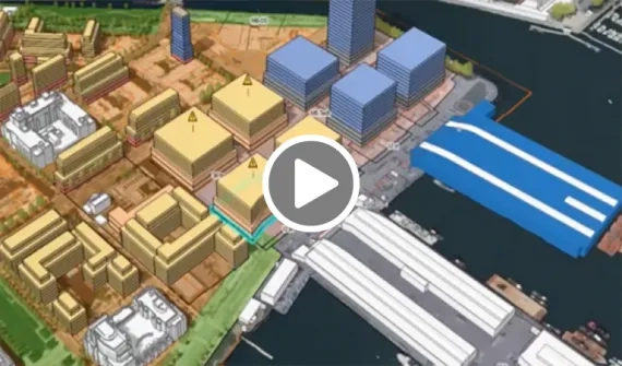
3D city model as context for change
Design a 3D representation of the city and gain contextual information to assess performance and support decision-making.
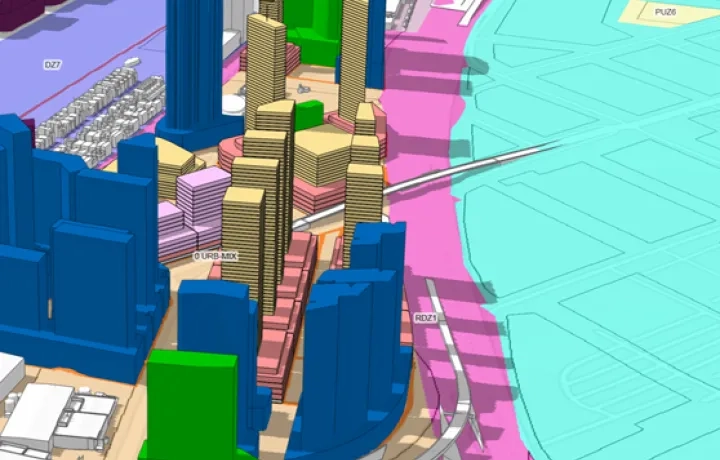
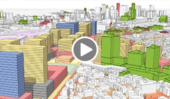
Zoning and land-use planning
Produce 3D visual and analytical representations of your legal zoning code and measure the immediate impact of your proposed design.
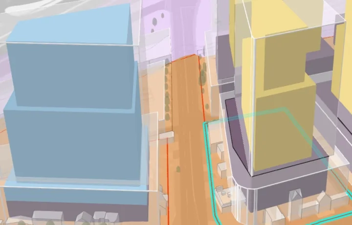
Urban design and project sharing
Quickly create detailed planning scenarios and share your work with stakeholders. Ensure proposed development conforms to the city policy relating to visibility or shadow impact regulations during design review.