You are here News and events Esri Malaysia blog Esri Malaysia blog The rise of smart cities New, better ways of governing are emerging from cities as they strive to become more liveable and sustainable places. Learn more Digitalising navigational charts for safety NOAA is leading the world in phasing out paper charts, embracing the advantages of Electronic Navigational Charts. Learn more How mapping technology can help catch killers Mike King outlines how investigators can use Geographic Information System (GIS) technology to combine location-based data, public information and suspect profiling data, to help catch killers. Learn more
The rise of smart cities New, better ways of governing are emerging from cities as they strive to become more liveable and sustainable places. Learn more
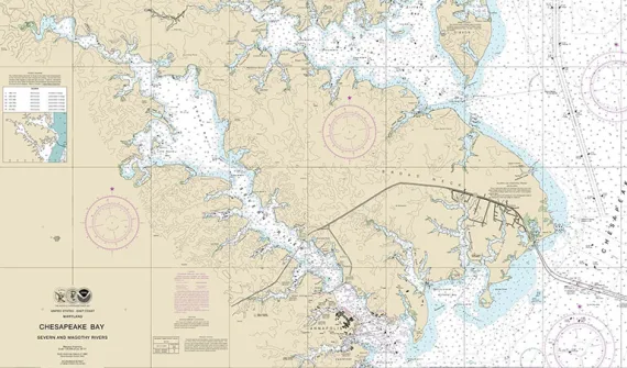
Digitalising navigational charts for safety NOAA is leading the world in phasing out paper charts, embracing the advantages of Electronic Navigational Charts. Learn more
How mapping technology can help catch killers Mike King outlines how investigators can use Geographic Information System (GIS) technology to combine location-based data, public information and suspect profiling data, to help catch killers. Learn more