Part of the Esri Geospatial Cloud, Collector for ArcGIS, a mobile data collection app, makes it easy to capture accurate data and return it to the office. Fieldworkers use web maps on mobile devices to capture and edit data. Collector for ArcGIS works even when disconnected from the Internet and integrates seamlessly into ArcGIS.
Capture and report data


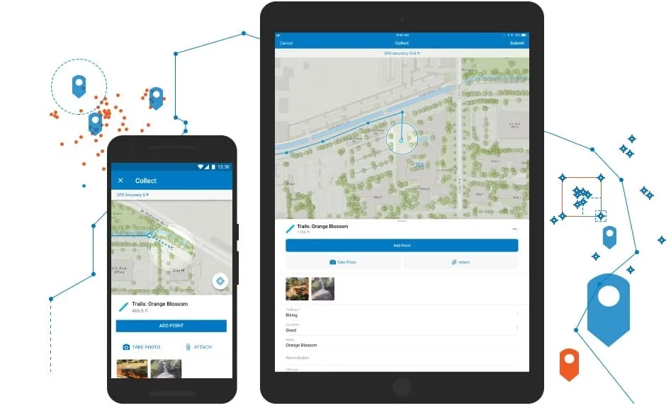
Efficient data collection
Collector’s intuitive interface enables field workers of all experience levels with map-driven forms to capture and return accurate field data that integrates seamlessly into ArcGIS. For any asset or observation, you can document countless details using photos, videos, or audio recordings.

A single source of truth
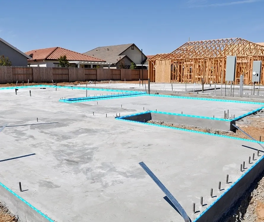
Data captured with Collector feeds directly into ArcGIS, so everyone, in the field and the office, works from the same accurate data. Your as-built infrastructure can be accurately documented to reflect reality as compared to what was planned.
No more paper forms
Free your workforce of the manual processes of collecting field data on paper forms that must be returned to the office, then translated into other systems. Collector streamlines these workflows, using smart devices to capture data in the field and seamlessly return it to the office.

Works anywhere, anytime
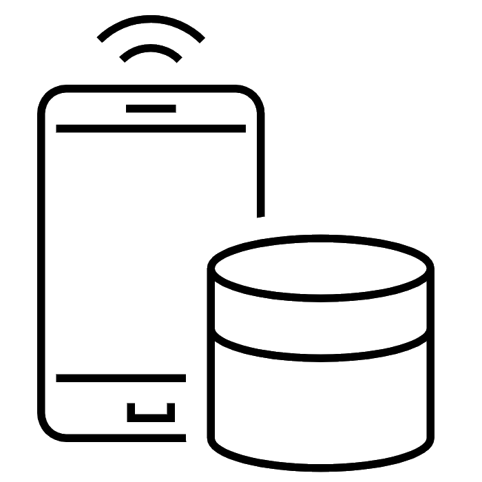
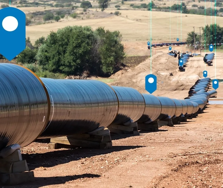
Add new assets and update existing GIS data in any environment, remote to urban, on your authoritative maps. In connected environments, your data will feed directly into ArcGIS. In disconnected environments, it will reside on your device then sync as soon as connectivity is available.
Improved data accuracy
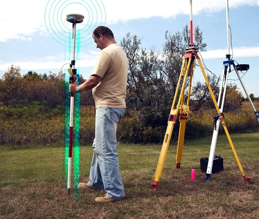
Collector uses your device’s location service to identify your position. Authoritative maps ensure field-captured location data, updates, and additions are accurate. When required, achieve up-to-centimeter accuracy using a professional-grade or high-accuracy GPS receiver. Collector supports both options.
To find out more about Collector for ArcGIS, email us or call +60 (3) 5022 0122.
How Collector works
Better together
Use other focused ArcGIS apps in combination with Collector for ArcGIS to be more productive and reduce costs in your field activities
Workforce for ArcGIS
Coordinate field activities. Select a task from your Workforce task list. Use Collector to complete the required work. Then, seamlessly return to Workforce when you are done.
Navigator for ArcGIS
From any point on the map, a simple click opens Navigator and routes you to your selected destination. It then returns you to Collector so you can capture data.
Operations Dashboard
Visualise the data captured with Collector in real-time dashboards to support more informed decision-making.
Business Analyst for ArcGIS
Collector for ArcGIS integrates with other non-ArcGIS proprietary apps you already use or choose to integrate into your field activities using a URL scheme.
Collector is fully integrated with ArcGIS
Combined with other ArcGIS apps, you can maximise efficiency in your field workforce on a platform you can trust with the flexibility to run in the cloud or in your own IT infrastructure.