ENVI image analysis software helps GIS professionals extract meaningful information from imagery to make better decisions. Deployed from the desktop, in the Cloud or on mobile devices, ENVI can be customised through an API to meet your unique project needs.

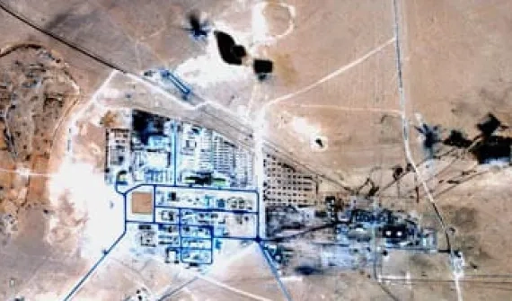
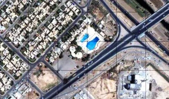
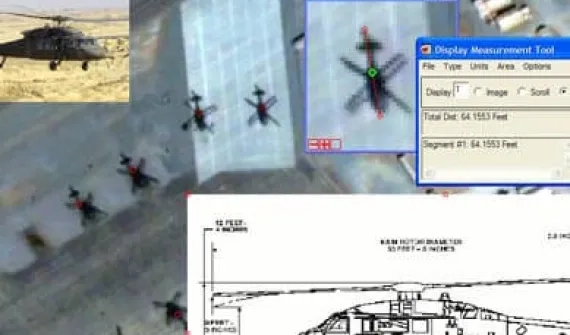
FX, the Feature Extraction Module, extracts features from geospatial imagery based on the object's spatial, spectral and texture characteristics to identify them by category such as buildings, vehicles, roads and more.

With the Atmospheric Correction Module you can remove atmospheric interference from imagery to deliver a true, reliable representation of a specific image scene. ACM works with both multispectral hyperspectral data.

Register imagery to ground coordinates and apply orthorectification to remove distortions; generate synthetic 3D point clouds from spaceborne optical imaging platforms via multi-ray photogrammetry techniques.

Combine images, graphics and metadata in a single file to create an intelligence resource. Certified by the Joint Interoperability Test Command (JITC), NITF is tested to meet the highest compliance levels.

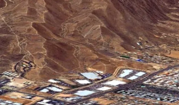
The ENVI DEM extraction module is used to quickly and easily create spatially accurate DEMs of geospatial imagery. A step-by-step guide through the process produces accurate and robust models from virtually any airphoto or stereo satellite images with RPCs, including those from Pushbroom sensors such as Worldview 2, ASTER, IKONOS, OrbView-3, QuickBird and SPOT 1-5. These tools let users view anaglyph images, measure building or mountain heights, edit DEM values and extract 3D features.

