You are here Home 2018 Presentations Esri Malaysia User Conference 2018 Presentations Couldn't make it to the Esri Malaysia User Conference, or just want to relive the experience? Download the presentations below. Morning plenary Welcome from Esri Malaysia CEO, CS Tan Esri Malaysia's CEO, CS Tan, shares his vision for the capabilities and future of GIS in smart city thinking, demonstrating some of the Asia Pacific region's leading examples of innovative technology. Learn more EMUC 2018 GeoInnovation Awards Ceremony Meet the winners of the 2018 GeoInnovation Awards, which celebrate the innovators who apply the science of GIS and to solve pressing and real problems for which there are no traditional solutions. Learn more Best-practice 3D operations management Presenters: Azlina Madad & Lo Kit Yeng, Esri Malaysia See the new approach to 3D GIS transforming city development through web-based and desktop tools that make planning more creative, collaborative and productive. Learn more An exciting new era for infrastructure design Presenter: Aswadi Yusof, MRT Corp The SSP Line Geospatial portal is the first cloud-based GIS deployment in Asia to fully integrate with BIM and Reality Modelling into ArcGIS Portal. Learn more Adopt Fostering an engaged community Presenter: Fahmi Razali, Esri Malaysia Take a look at the Esri tools designed to enhance collaboration and two-way engagement across organisations and communities; including ArcGIS Online, Open Data and ArcGIS Hub. Learn more WebGIS: Let's get started Presenter: Will Phua, Esri Malaysia This session demonstrates a practical best-practice approach to ArcGIS Enterprise and ArcGIS Online covering technology to design guidelines for building usable web applications. Learn more Extend Deepen ArcGIS Pro: Future mapping now Presenter: Ili'aainaa Yaakop, Esri Malaysia Explore the latest features in ArcGIS Pro 2.1, the foundation tool for desktop users, delivering a greater ability to manage, create and share data, organisation-wide. Learn more Picture-perfect Drone2Map imagery Presenter: Wan Mohamad Nazmeen, Esri Malaysia Take a look at the latest in imagery from ArcGIS allowing you to derive new understanding from existing data by creating visually rich analytic maps for insight and knowledge. Learn more Insights for ArcGIS-driven decisions Presenter: Will Phua, Esri Malaysia See how Insights for ArcGIS allows self-service spatial analytics to anyone in your organisation and provides intuitive and agile intelligence from integrated sources of data for all users. Learn more Afternoon plenary ArcGIS: The road ahead Presenters: Amir Faisal & Firdaus Asri, Esri Malaysia This presentation showcases how ArcGIS provides a common digital and data platform to operate reliable, resilient and secure systems that help enhance Singapore’s digital capabilities. Learn more
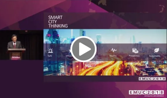
Welcome from Esri Malaysia CEO, CS Tan Esri Malaysia's CEO, CS Tan, shares his vision for the capabilities and future of GIS in smart city thinking, demonstrating some of the Asia Pacific region's leading examples of innovative technology. Learn more
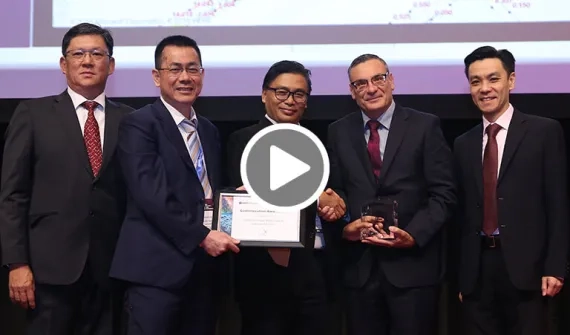
EMUC 2018 GeoInnovation Awards Ceremony Meet the winners of the 2018 GeoInnovation Awards, which celebrate the innovators who apply the science of GIS and to solve pressing and real problems for which there are no traditional solutions. Learn more
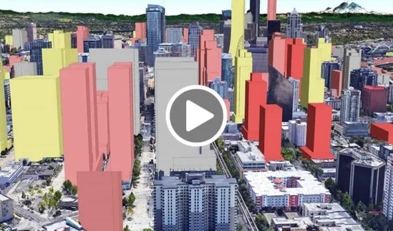
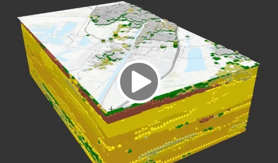
Best-practice 3D operations management Presenters: Azlina Madad & Lo Kit Yeng, Esri Malaysia See the new approach to 3D GIS transforming city development through web-based and desktop tools that make planning more creative, collaborative and productive. Learn more
An exciting new era for infrastructure design Presenter: Aswadi Yusof, MRT Corp The SSP Line Geospatial portal is the first cloud-based GIS deployment in Asia to fully integrate with BIM and Reality Modelling into ArcGIS Portal. Learn more
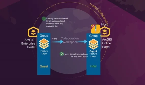
Fostering an engaged community Presenter: Fahmi Razali, Esri Malaysia Take a look at the Esri tools designed to enhance collaboration and two-way engagement across organisations and communities; including ArcGIS Online, Open Data and ArcGIS Hub. Learn more
WebGIS: Let's get started Presenter: Will Phua, Esri Malaysia This session demonstrates a practical best-practice approach to ArcGIS Enterprise and ArcGIS Online covering technology to design guidelines for building usable web applications. Learn more
ArcGIS Pro: Future mapping now Presenter: Ili'aainaa Yaakop, Esri Malaysia Explore the latest features in ArcGIS Pro 2.1, the foundation tool for desktop users, delivering a greater ability to manage, create and share data, organisation-wide. Learn more
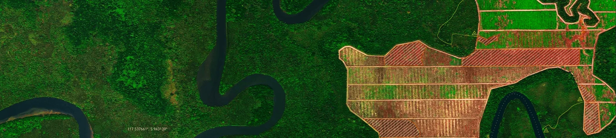
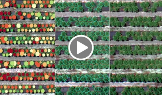
Picture-perfect Drone2Map imagery Presenter: Wan Mohamad Nazmeen, Esri Malaysia Take a look at the latest in imagery from ArcGIS allowing you to derive new understanding from existing data by creating visually rich analytic maps for insight and knowledge. Learn more
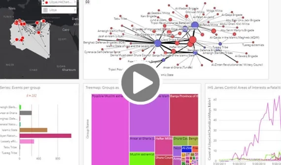
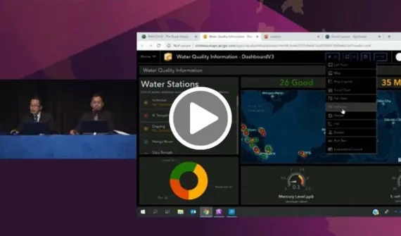
Insights for ArcGIS-driven decisions Presenter: Will Phua, Esri Malaysia See how Insights for ArcGIS allows self-service spatial analytics to anyone in your organisation and provides intuitive and agile intelligence from integrated sources of data for all users. Learn more
ArcGIS: The road ahead Presenters: Amir Faisal & Firdaus Asri, Esri Malaysia This presentation showcases how ArcGIS provides a common digital and data platform to operate reliable, resilient and secure systems that help enhance Singapore’s digital capabilities. Learn more