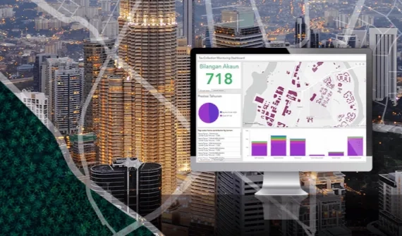
Reimagining e-Government in the new normal
Smart cities are on a mission to improve the quality of life for citizens through service delivery.
The Connected Cities 4.0 forum explores how geospatial technology is driving the future of e-government services by helping leaders make data-driven decisions.
Watch the presentations in Bahasa online below.
Explore more
Meet the speakers
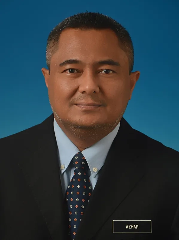
Abdul Azhar Bin Ibrahim
PEGIS
Head of Geospatial Information Management Unit
With 25 years of experience, Abdul Azhar leads the GIS Unit for Penang State Information and Technology division.
Gs. TPr. Nurazhani Bujang
Johor Bahru City Council
Chief Assistant Director, Geographic Information System Division
Experienced in town planning, GIS database restructuring and spatial database development.
Tenty Melvianti Legarias
Human Settlements, Spatial Planning and Land Authority Department Jakarta Capital City, Jakarta
Expert in System Information Management
After five years in Indonesia's telecommunications industry, Melvi uses GIS tools to support the DKI Jakarta government program.
Joanne Loh Poh Choo
Esri Malaysia
Chief Technology Strategist
Experienced technology strategist helping organisations geo-enable their digital transformation initiatives.
Zeon Low
Esri Malaysia
Senior Account Manager, Local Government
Zeon works closely with Malaysia's local government agencies, helping them leverage geospatial technology and location analysis to improve service delivery.
Md Afif Abu Bakar
Esri Malaysia
Senior Industry Consultant
Leveraging geospatial technology to achieve organisational goals
Alvin Khaw
Esri Malaysia
Manager, Enterprise Consulting
Maximising the value of GIS technology


