
Capture, analyse, and share insights seamlessly across your organisation.
Capture, analyse, and share insights seamlessly across your organisation.
Discover how drones can capture precise, up-to-date views of the world, and learn how to leverage use GeoAI to extract valuable insights, seamlessly sharing them through a custom web app.
Understand the reality mapping workflow —from flight planning and image capture to creating 2D and 3D maps —using the essential tools that power smarter decision-making.
Webinar recording
Highlights
- Create orthomosaics, terrain models, point clouds, and 3D meshes.
- Manage, process, share, and analyse your images all in one place.
- Automatically create photo-realistic results for entire cities and regions.
- Process large or multi-day captures within a single project, simplifying complex workflows.
Speaker
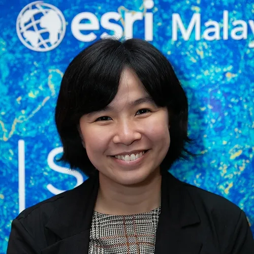
Lo Kit Yeng
Esri Malaysia
Industry Consultant
Kit Yeng is a leading authority on how to fully harness the power of GIS at an enterprise level within the national and local government, agriculture, utility, 3D and commercial sectors