
Celebrating the forward-thinking geospatial solutions that have been used to address Malaysia’s social, economic, business, and environmental challenges.
Today, geospatial technology underpins the digital transformation strategies of some of the most progressive organisations across the world. It helps civic leaders make data-driven decisions about complex urban problems and supports commercial organisations in addressing inefficiencies in their operations. In Malaysia, an increasing number of organisations are turning to geospatial technology to address real-world challenges of which, there were no traditional solutions.
Watch the GeoInnovation Awards online and be inspired by some of the most successful digital transformation initiatives happening across industries in Malaysia.

To find out more about GIS solutions, call +60 (3) 5022 0122 or send us an email to speak with an Esri Malaysia specialist.
Speakers
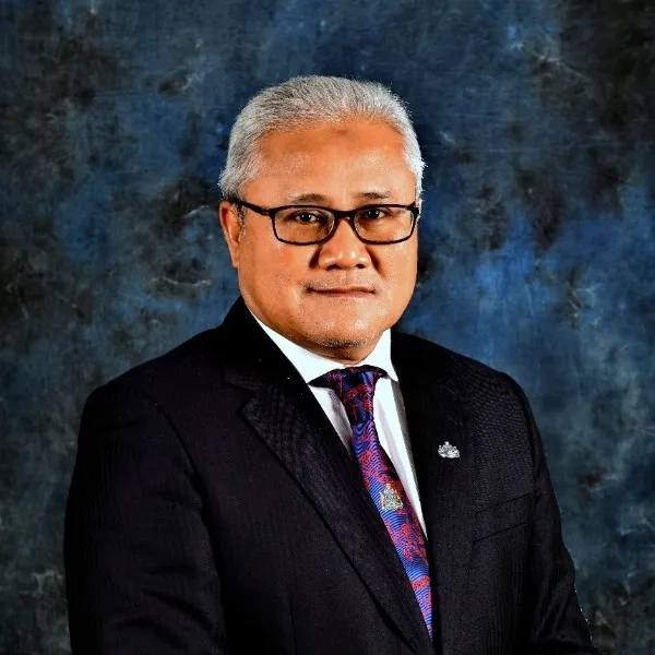
YB Dato' HJ. Mohd. Noorazam Bin Dato' HJ. Osman
Majlis Bandaraya Johor Bahru, Johor, Malaysia
Mayor
A distinguished civil service leader who has greatly influenced public service efficiency and modernisation in Johor.
Datu Abdullah Bin Julaihi
Ministry of Urban Development & Natural Resources, Sarawak, Malaysia
Permanent Secretary
A public service moderniser who has led award-winning digital innovation projects in Malaysia.

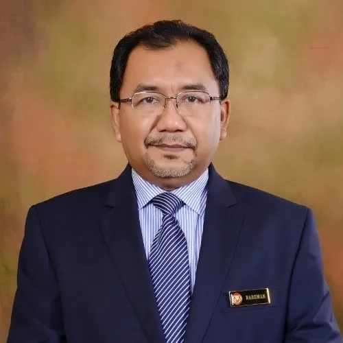
TPr. Rozita Binti Hamit
PLANMalaysia@PulauPinang, Penang, Malaysia
Director
An industry-recognised town planner with over 30 years of experience in urban planning.
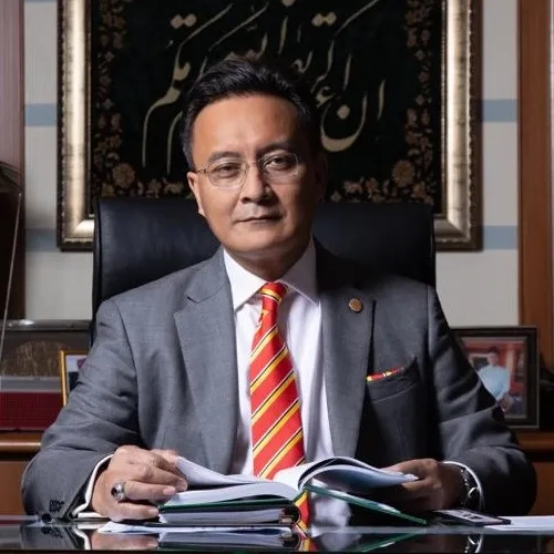
Dr Haji Nadzman Bin Haji Mustafa
Majlis Perbandaran Kulim, Kulim, Malaysia
President and Administrator
Experienced leader in improving organisational development, strategic management, and capacity building in local governments.

Gs. Mohd Zahlan Mohd Zaki
Sime Darby Plantation Research Sdn Bhd, Malaysia
Chief Scientist
Mohd Zaki is an advocate for the use of GIS for operational efficiency, improved workflows and increased savings.
Tan Choon Sang (CS Tan)
Esri Malaysia
Chief Executive Officer
With 25 years of experience in the IT industry, Tan Choon Sang (CS Tan) heads the Esri Malaysia operation.

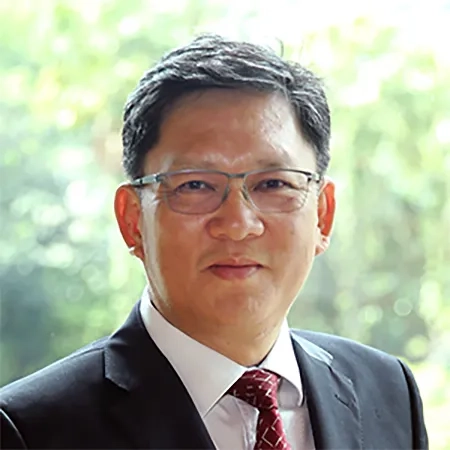
Joanne Loh Poh Choo
Esri Malaysia
Chief Technology Strategist
Experienced technology strategist helping organisations geo-enable their digital transformation initiatives.