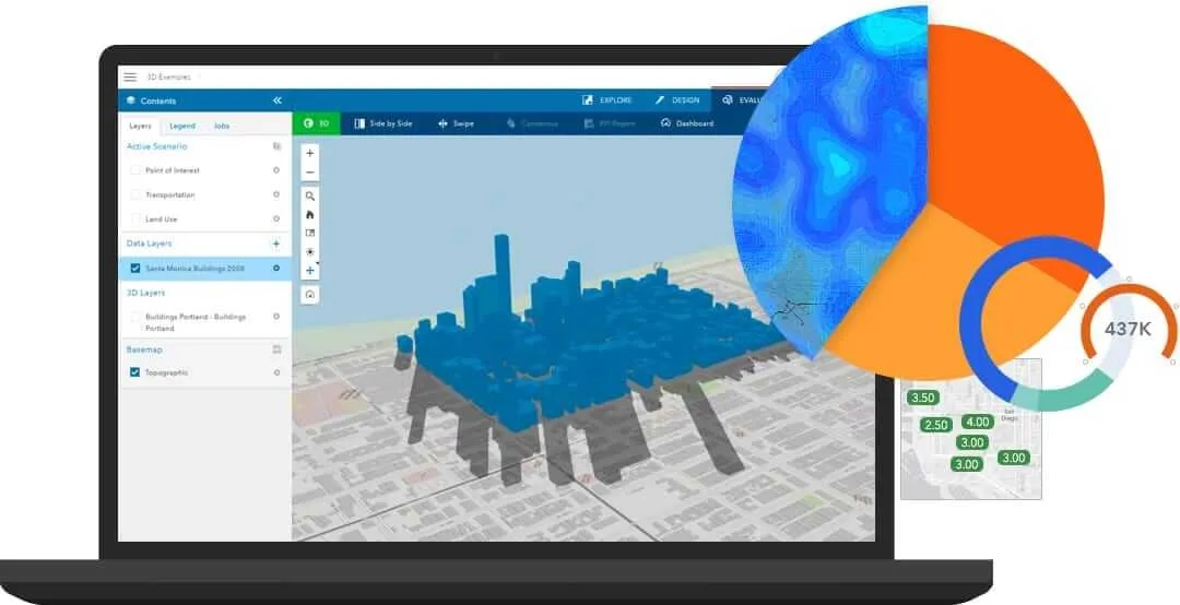
GeoPlanner for ArcGIS is a web-based planning tool that empowers you to rapidly design city, regional, and landscape-scale scenarios in a collaborative, iterative environment.
Plans driven by impact and KPIs
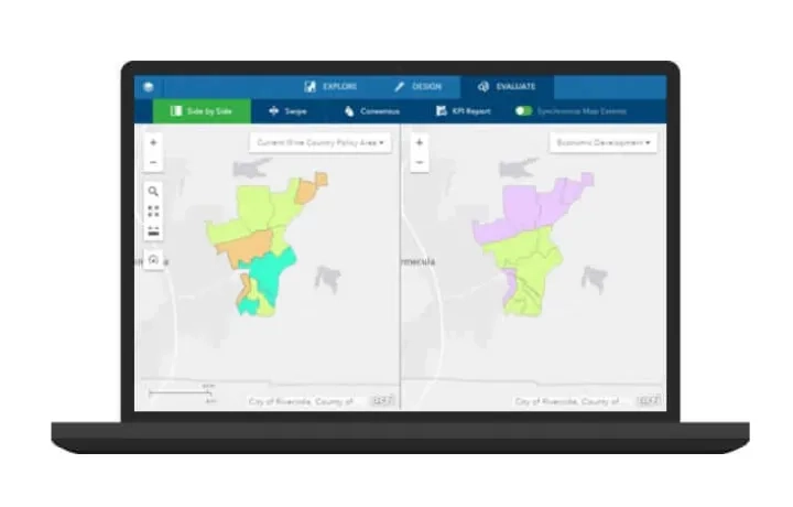
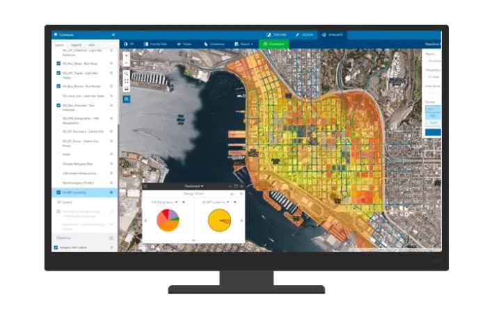
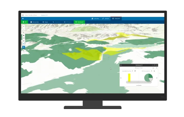
GeoPlanner for ArcGIS gives you a way to measure the impact of your design using key performance indicators (KPIs). Run spatial analysis on the fly, compare scenarios, and share data-informed plans using real-time dashboards.
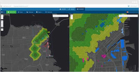
Design what-if scenarios
Design and test countless iterative scenarios with professional planning tools in GeoPlanner for ArcGIS. And you can invite other planners to collaborate with you.
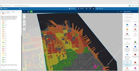
Measure impact as you plan
Use built-in metrics and dashboards to immediately measure scenario impact. Access and incorporate global, authoritative data from ArcGIS for contextual analysis.
Deliver results that get buy-in
Showcase results that are data-informed, visually impactful, and interactive in 2D and 3D. Share plans with stakeholders and the community at meetings or charrette.
To find out more about GeoPlanner for ArcGIS call or email a product specialist on +60 (3) 5022 0122.
Improve your process, one step at a time
Planning is an iterative, collaborative process. Here’s how GeoPlanner for ArcGIS helps you along the way.
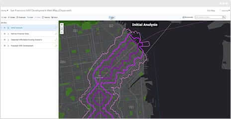
1. Design
Create scenarios from your data or sketch new designs. Collaborate with a team or design on your own.
2. Test
Assess and compare impact in 2D or 3D with real-time dashboards, key performance indicators, and models.
3. Share
Present data-informed results to executives, officials, and your community.