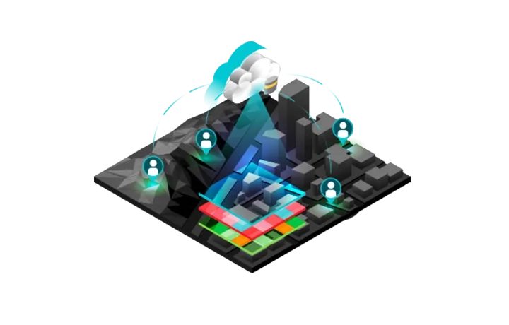
Fuel business decisions with proactive insights
ArcGIS provides image analysis, management and organisation-wide collaboration. With imagery and remote sensing data feeds included in the best-in-class location-based intelligence software, timely data-driven answers are possible for your business.
Concerned about managing large volumes of imagery and remotely-sensed data? Call +60 (3) 5022 0122 or send an enquiry to speak with a specialist.
Content
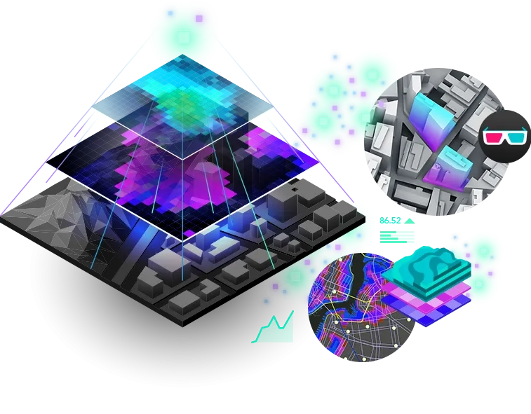
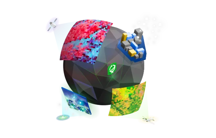
ArcGIS provides the world's largest online collection of imagery, terrain and geospatial information layers to add insights and context to your work.
Visualisation
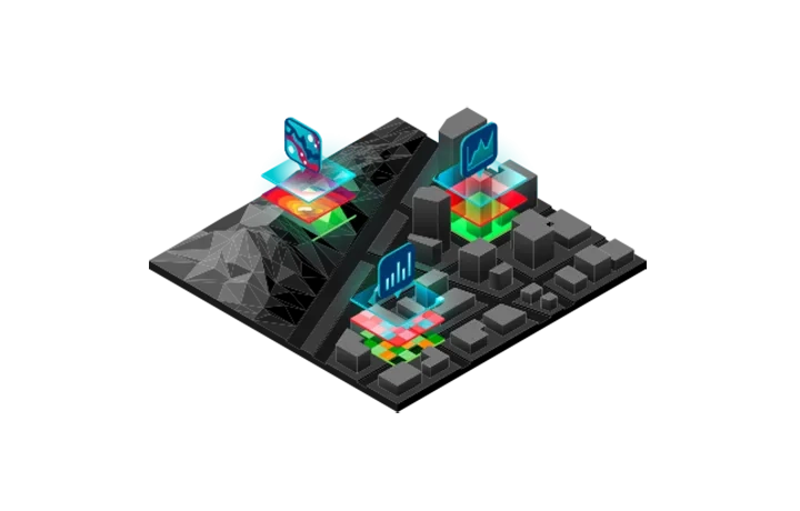
Enable more informed decision-making with the power of Earth observations in dynamic desktop, web and mobile applications.

Analysis
Extract location-based information from geospatial data like land cover classification, object and features, and Earth changes.
Map production
Create authoritative imagery derived products such as orthomosaics, digital elevation models, 3D meshes and topographic maps.

Imagery management
Catalogue your imagery holdings to efficiently and securely store or publish them as web services. Access, scale and unlock the information.