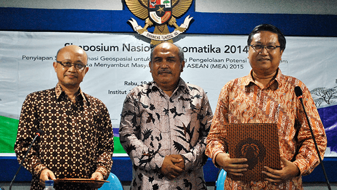
Several of the country’s most respected universities have signed a landmark agreement with leading geospatial solutions provider Esri Indonesia to provide students with broad access to advanced smart mapping technology.
The agreement will enable more than 30 educational institutions – such as the Bandung Institute of Technology, Institut Teknologi Sepuluh Nopember Surabaya, and Sekolah Tinggi Ilmu Statistik – to give students hands-on experience using world-leading Geographic Information System (GIS) technology.
The first-of-its-kind deal comes as the demand for GIS technology skills continues to grow, with more than 1,000 Indonesian organisations now using the software to underpin their operations.

Market forecasts predict the region’s GIS market will grow by almost 12 per cent CAGR (compound annual growth rate) by 2016, with the sector currently generating more than $335 million annually.
Esri Indonesia CEO Bima Priadi said the rapid adoption of GIS technology by non-traditional markets – such as retailers, telecommunications businesses and the media – has stirred an unprecedented demand for skilled GIS professionals.
“While GIS technology was once the sole domain of land management agencies, governments and defence, it is becoming increasingly commonplace inside commercial, education and not-for-profit organisations,” Mr Priadi said.
“From government asset managers, to policy makers, to CFOs – more professionals are now realising the value of leveraging geographic insight to make decisions, and the desire to visualise data on maps is growing.
“This is why having the country’s university sector provide greater access to GIS technology is so important."
“It is vital we proactively grow the skills of the future workforce in order to meet the rising demand in Indonesia for GIS professionals.”
Mr Priadi warned the only threat to further growth of the industry is a lack of local talent.
“One of the biggest challenges facing the local GIS industry is having enough skilled professionals to meet this demand,” Mr Priadi said.
“Many people are familiar with satellite navigation technology and popular mapping applications in general, so they have a certain level of skill in the use of geographic information.
“However, applying the technology to manage geospatial data requires specialised skills which will be essential for the future management of location-based data.
“As a country, we must proactively generate more specialists and analysts with the right spatial skills sets, which is why these types of university partnerships are so important.”
