This is Malaysia’s health-care transformation in action. The Ministry of Health has shifted from reactive reporting to proactive intervention by weaving advanced mapping technology into the very fabric of its health programs. It’s a national model of how a geographic approach can drive better health outcomes; efficiently, equitably, and at scale.
By Este Geraghty, MD, MS, MPH, GISP, Chief Medical Officer, Esri
In the remote villages of Sarawak, on the island of Borneo, health workers move from house to house, administering medication and recording progress on their tablets. Two thousand kilometers away, just south of Kuala Lumpur in Putrajaya, government officials track that progress on dashboards, seeing a map of how and where they are fighting disease.
When you have a map laid out in front of you, you know exactly where the gaps are and where conditions are most severe,
Dr. Hammad Fahli bin Sidek, senior assistant director at the Ministry of Health Malaysia.
Meeting the challenge of geography and resource allocation
Malaysia is literally split in two: Peninsular Malaysia, connected by highway systems along its east and west coasts, and East Malaysia—the states of Sabah and Sarawak—situated on the island of Borneo. This geography creates complex demands for delivering medical care across vast distances to nearly 36 million people who speak 137 languages. Precision and foresight are essential.
Health care is the nation’s second-largest budget allocation yet spending averages just RM 1,259 ($268) per person annually. That makes efficiency crucial.
Rather than viewing geography and resources as barriers, Malaysia embraced geographic information system (GIS) technology for managing assets, planning services, and delivering care. Using GIS, the nation has built one of the world’s most comprehensive health intelligence platforms, the Malaysian Health Data Warehouse. Led by Dr Mohamad Fadli Kharie, Senior Principal Assistant Director at the Ministry of Health Malaysia, MyHDW’s GIS capabilities enable health planners to move beyond asking how many, to understanding where and why.
Fighting disease, door to door
Health workers in Malaysia are now using GIS technology to help eradicate filariasis, a parasitic disease that can cause severe limb swelling and disability. When one person in a village is affected, the entire community receives preventive medication to break the transmission cycle.
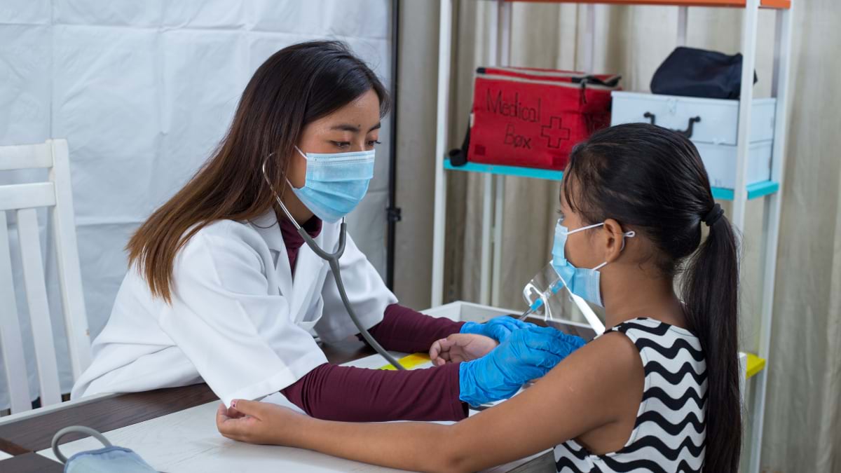
Previously, the process posed a logistical challenge. Health inspectors would manually survey villages, distribute medications, and compile paper-based reports to convey progress. Distribution could take several months, and following this, it could take another month to gather statistics.
Today, field teams use a GIS survey app on tablets to collect household data and synchronise it to GIS dashboards automatically each day.
We can see the progress by the end of the night. We managed to reduce the medication distribution timeline from six months down to just two months thanks to the improved reporting. The impact goes beyond efficiency.
Dr Mohamad Fadli Kharie, Senior Principal Assistant Director at the Ministry of Health Malaysia
Officials at headquarters can verify that medications are being administered, confirm the geographic distribution of interventions, and monitor coverage rates in near real time. Instead of waiting for summary tables or paper reports, they can track and guide the nation’s public health strategy on maps and dashboards, house by house, village by village.
For all stakeholders, the visualisation tools provide a new level of awareness and inspire strategic problem-solving.
The main point of the dashboard isn’t just reporting numbers and statistics. It’s about initiating discussions. When bosses and stakeholders see the situation through maps, they want to think and discuss solutions.
A model for global health
A geographic approach underpins Malaysia’s long-term health strategy. The country maintains a comprehensive inventory of health-care assets, from high-value equipment such as PET-CT scanners and mammogram machines to a health facility master list, including the locations of specialised cancer centres and women’s hospitals.
This inventory is dynamic, integrated with population projections and disease incidence data. “We look at cancer incidence based on our registry data and conduct projection exercises for population growth,” Sidek said. “We forecast breast cancer estimates all the way to 2040—the number of cases we expect and how to procure assets and where to place them.”
Malaysia, like much of the world, is experiencing declining fertility rates and an ageing population. The country is adapting its services to make the most of both public and private facilities. Rather than automatically purchasing expensive equipment for every hospital or opening new facilities, officials use spatial analysis to prioritise investments and identify public–private partnerships.
Malaysia’s success offers lessons for other countries struggling to optimise health-care delivery with limited resources and shifting public health needs. They have shown that GIS for health isn’t just about technology—it’s about empowering senior decision-makers and local teams to see patterns and identify solutions.
Get in touch with our specialists to explore how GIS can enhance health and human services or call +60 (3) 5022 0122 today.