Geospatial technology and data shared with others has played an integral role in Malaysia's management of COVID-19
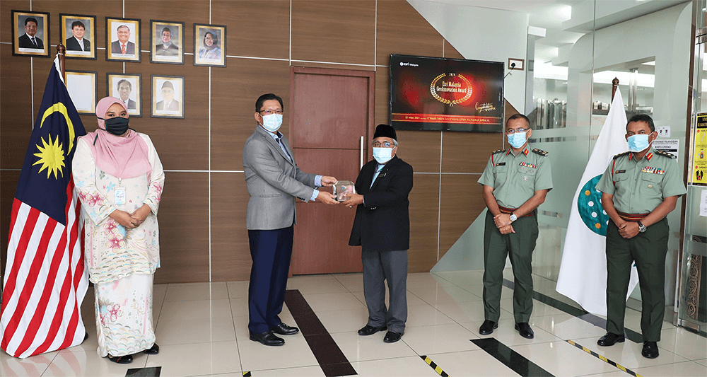
The Department of Survey and Mapping Malaysia (JUPEM) has won the prestigious GeoInnovation Award for its forward-thinking approach in using geospatial technology to help the country manage the COVID-19 pandemic.
The award, conferred only to selected organisations every year by leading geospatial solutions provider Esri Malaysia, recognises organisations for their use of geospatial technology in addressing real-world challenges in industries and communities.
According to JUPEM Director General, Dato' Sr Dr. Azhari bin Mohamed, geospatial technology has always been at the heart of JUPEM’s numerous initiatives.
Beyond the agency's core functions in the field of cadastral survey and topographical mapping, the technology has empowered JUPEM in supporting the National Security Council (NSC) and National Disaster Management Agency in managing national crises and emergencies such as floods, landslides and even pollution incidences which earned JUPEM various industry recognitions in recent years.
“When every second counts and the stakes are high, frontline agencies need to make decisions driven by accurate authoritative real-time data, so they can be confident they have made the best possible choices under pressure,” Dr. Azhari said.
“This is where our project Defence Geospatial Information Management (DGIM) comes into the picture by helping stakeholders quickly mashup, visualise, and most importantly make sense of the data from various agencies.”
Dr Azhari explained that DGIM is powered by the ArcGIS platform, the same technology supporting organisations such as WHO, the Centre for Disease Control and Prevention in the United States, and other similar authorities who monitor the spread of the virus and play a role in the preventive, surveillance and critical control measures.
“For the COVID-19 pandemic, DGIM was used to provide a Joint Common Operating Picture (JCOP) in order to facilitate seamless collaboration with the NSC’s COVID-19 crisis management team.”
The platform displays daily and cumulative outbreak numbers within the country, insight on colour-coded zoning in districts, and identified contaminated areas that require sanitisation, amongst other functions.
“With its capacity to assemble and visualise multiple datasets from various agencies into a single mapping platform, stakeholders are provided with real-time situational awareness helping to orchestrate COVID-19 response efforts on the ground,” said Dr. Azhari.
In addition, with COVID-19 prompting many organisations to adopt digital transformation at such a rapid pace, JUPEM on the other hand has benefitted from its leadership team’s forward-thinking approach to innovation.
“JUPEM was able to quickly meet the demands of the crisis at hand because the agency has been planning and preparing an emergency management operations plan and established DGIM as the platform to provide the kind of connectivity, agility, and fast scalability required for both blue sky and emergency operations,” said Dr. Azhari.
With the support of Defence Geospatial Division (BGSP) Director, Brig. Gen. Sr. Dr. Mohd Zambri, Dr. Azhari believed that having such technological capabilities in place have helped JUPEM and other agencies manage the national crisis effectively.
Esri Malaysia Chief Executive Officer C.S. Tan acknowledged the agency for its continuous commitment to enhance the country’s emergency response strategy.
“I would like to congratulate JUPEM for its inspiring achievement. JUPEM’s actionable leadership has proved that using the right technology tailored to a specific requirement can make a difference in saving lives during a national emergency such as the ongoing pandemic,” Mr Tan said.
“We are honoured to have worked with JUPEM in its key national initiative and we are excited to see it empower more decision-makers with innovative applications that benefit the wider community.”
In 2018, JUPEM bagged the Esri Malaysia GeoInnovation Award for Exemplary GIS Project and its BGSP took the Special Achievement in GIS (SAG) award in 2019. BGSP was recognised for its collaborative platform – Centralised GeoCentric Disaster Management – that was built to help anticipate and better respond to natural disasters.
“We take pride in being a winner of the award as it proves how geospatial technology helps to collect and share real-time data accurately, thus allowing relevant agencies to coordinate the best solutions, especially in times of crisis,” Dr. Azhari said.