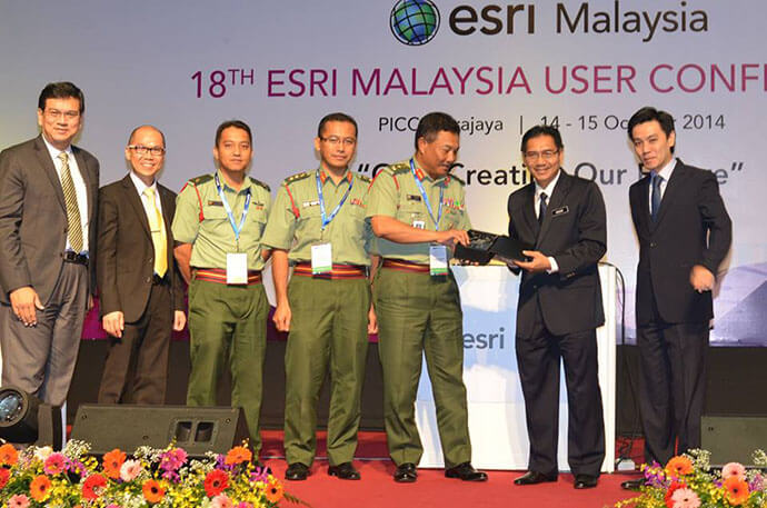
JUPEM’s Defence Geospatial Division (BGSP) has been selected from more than 400,000 organisations worldwide to win a global Special Achievement in GIS (SAG) Award.
Presented to officials from BGSP in San Diego by Jack Dangermond – President and Founder of global mapping giant Esri – the SAG award recognises BGSP’s efforts in leveraging today’s most advanced Geographic Information System (GIS) technology to support the Malaysian Armed Forces’ (MAF) mission-critical operations.
Under the multi-year uGeo for Defence program roadmap, BGSP deployed GIS technology to enable MAF stakeholders with seamless access to accurate and authoritative geospatial data on demand – anytime, anywhere.
Geo for Defence program provides the infrastructure and capability to integrate geospatial data from across multiple business systems then visually represents the results on a dynamic and intuitive map, enabling users to fuse their operational layers to identify and solve problems in the most efficient manner.
Brigadier General Hj. Abu Sufian bin Ahmad said, prior to the implementation of uGeo for Defence, soldiers and decision makers at MAF would rely heavily on topographic maps produced in hardcopy format, which gave them limited information analysis capabilities.
“Having uGeo for Defence roadmap in place allows us to plan and equip MAF officers with geospatial foundation information that can help them make decisions that are timely, relevant, consistent, and objective,” Brigadier General Hj. Abu Sufian said.
“Once the technology was rolled-out, decision makers at MAF were able to make more informed choices because they were equipped with the capability to fuse operational data to uncover hidden patterns, trends and relationships that would have otherwise remain buried if they used hardcopy maps and static digital maps.
“In fact, the technology contributed immensely in responding to the Lahad Datu standoff in Sabah last year and planning the search and rescue operations for the Malaysian Airlines flights MH370 and MH17 tragedies.”
Esri Malaysia CEO Lai Chee Siew said that while BGSP and MAF have only just begun unlocking the potential of GIS technology, stakeholders are already generating significant value.
“When managers make a decision that is driven by the most up-to-date data, they can be confident they have made the best possible choice under the circumstances – which is incredibly important when it comes to defence and national security,” Mr Lai said.
“The quality of decisions are then reflected on substantial improvements in MAF’s productivity and operations.”
Brigadier General Hj. Abu Sufian said BGSP is honoured to receive international recognition for the system.
“It is an honour for us to receive the SAG Award, as GIS technology is essential to ensure that we meet the real need of our stakeholders rather than their perceived needs,” concluded Brigadier General Hj. Abu Sufian.