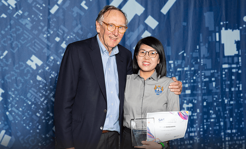
Land & Survey Department Sarawak, Sime Darby Plantation Research Sdn. Bhd., and Majlis Bandaraya Iskandar Puteri were selected from over 300,000 organisations worldwide to receive global technology giant Esri’s Special Achievement in GIS (SAG) Award.
Kuala Lumpur, 2022 – Land & Survey Department Sarawak, Sime Darby Plantation Research Sdn. Bhd., and Majlis Bandaraya Iskandar Puteri (MBIP) have each been awarded Esri’s prestigious Special Achievement in GIS (SAG) Award for their innovative use of geospatial technology to implement smart government practices and precision agriculture solutions. The three Malaysian organisations were among an impressive field of international winners announced at the world’s largest geospatial technology event – the Esri User Conference in San Diego, California.
Annually presented to selected organisations handpicked from over 300,000 candidates, the SAG Awards recognise projects that offer sustainable solutions to real-world challenges using Esri’s world-leading Geographic Information System (GIS) technology.
Building smart cities with location intelligence
Land & Survey Department Sarawak was celebrated for its use of GIS in eLASIS (Electronic Land and Survey Information System), a digital platform which serves as a ‘virtual office’ for land management and administration.
The integration of GIS enables users to digitally view multiple layers of real-time information and 3D-rendered geospatial data on a particular plot of land, negating the need for physical site visits. With eLASIS in place, planning workflows across the Department are far more efficient, and both the public and private sectors can make smarter decisions around land management and land-use planning.
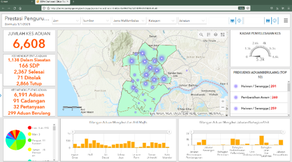
Increased operational efficiency is also a core element of Majlis Bandaraya Iskandar Puteri (MBIP)’s winning project, Dashboard SISPAA (Sistem Pengurusan Aduan Awam). MBIP, the first local government in Malaysia to receive the SAG Award, developed Dashboard SISPAA as a GIS-enabled dashboard that displays geo-insights from an existing centralised complaint management portal. All inbound complaints are collated and visualised in real-time and by locality.
By better understanding locations and clusters, Dashboard SISPAA enables government resources to be deployed more efficiently, resolving citizen complaints faster.
Improving connectivity in modern agriculture
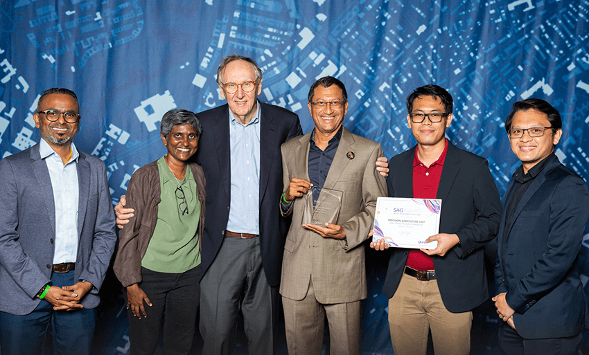
Dr. Harikrishna Kulaveerasingam (fourth from left) and delegation members from Sime Darby Plantation Research receiving the SAG Award from Jack Dangermond, co-founder and president of Esri
Sime Darby Plantation Research Sdn. Bhd. was awarded for its web and mobile-based application – Spatial Data Management and Rapid Analytics (SMART) – which is used to monitor the varied stages of palm oil production.
From plantation to mill, SMART captures and geo-locates real-time imagery of multiple production sites. Besides enabling easier identification of problem areas like hotspots, fires, or pest outbreaks, SMART also streamlines communication for seamless operational workflows and increased productivity.
Futureproofing with location intelligence
Esri Malaysia’s Chief Executive Officer, CS Tan says the achievements of these organisations set an outstanding example for those across Malaysia looking to build resilience by digitally transforming their operations – making the most of their valuable data resources.
“World-over, we see the most progressive governments and commercial enterprises using GIS and location analytics to foster a heightened level of resilience,” said CS Tan.
“It makes us incredibly proud to work alongside organisations that embrace this forward-thinking mindset and who are setting new technological precedents throughout the region,” CS Tan added.
As part of Esri’s global network spanning 400,000 clients across 150 countries, Esri Malaysia aims to continue working alongside like-minded organisations to ensure they can harness the full potential of geospatial thinking.
Further information about the annual SAG Awards and the full list of this year’s winners can be found here.