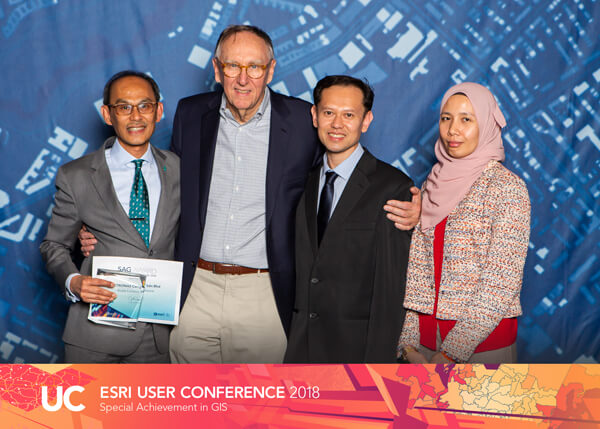
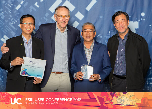
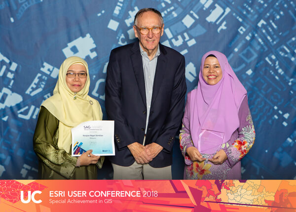
PETRONAS, Sabah Lands and Surveys Department and Kerajaan Negeri Sembilan have been selected ahead of more than 100,000 companies world-wide to receive Special Achievement in GIS Award.
Three leading Malaysian organisations have been selected ahead of more than 100,000 companies world-wide to win a global technology award.
Global oil and gas multinational Petroliam Nasional Berhad (PETRONAS), the Sabah Lands and Surveys Department as well as Kerajaan Negeri Sembilan won an Esri Special Achievement in Geographic Information System (SAG) Award, which recognises the creative use of GIS technology to improve the lives of citizens.
Presented with the awards by Jack Dangermond – Founder and President of global mapping giant Esri at the world’s largest geospatial event (2018 Esri International User Conference in San Diego) – the organisations were praised for demonstrating forward-thinking vision and actionable leadership to benefit their communities.
Esri Malaysia CEO CS Tan said the significant achievements of the three organisations would inspire others around the world to reflect on how they can use GIS technology to strengthen their own operations.
“This award has demonstrated to the world that Malaysia is fast becoming a global powerhouse for technical innovation,” said Mr Tan.
These organisations have set an international benchmark with their innovative use of Geographic Information System and we are very proud to have supported them in this journey.
Kerajaan Negeri Sembilan, and Sabah Lands and Surveys Department have made a profound impact on the quality of life of our citizens, by enabling smarter city design and service delivery.
PETRONAS
PETRONAS received the SAG Award for its innovative use of GIS technology within their Exploration division to optimise operations across the business.
In particular, the technology was used to establish a comprehensive and integrated exploration platform which in return improved the opportunity to process evaluation and enable more efficient decision-making.
“On behalf of PETRONAS’ Management, we are pleased to receive the Esri Special Achievement in Geographic Information System (SAG) Award. The award is testimony to PETRONAS’ efforts to continually innovate in the way that we use technology to improve our subsurface processes and workflows, adding to their efficiency while allowing us to make better decisions and generate more value,” said Emeliana Rice-Oxley, VP Exploration, PETRONAS.

Sabah Lands and Surveys Department
Sabah Lands and Surveys Department used GIS technology to underpin their award-winning JTUWMA system.
The system consolidates and analyses the state’s land and cadastral information to enable land administrators and members of the community to have a clear understanding of all aspects impacting property development.
As a result, the public is more informed on land management issues and authorities can make faster, better decisions around potential development to help ensure a sustainable and carefully considered community.
“The JTUWMA project has empowered our staff and the public to obtain land information almost immediately, thus immensely reducing handling and processes times and associated costs. Information that may have previously taken months to locate, can now be accessed in an instant. Receiving the SAG Award has spurred us to continue to improve this initiative for the benefit of the community,” said Sr. Bernard Liew, Deputy Director of Sabah Lands and Surveys Department.

Kerajaan Negeri Sembilan
Kerajaan Negeri Sembilan developed the GIS9 platform, a database which integrates and analyses large volumes of data to improve decision-making and data-sharing capabilities across all Negeri Sembilan government departments.
For example, the solution has been used to plan and assess future development opportunities for educational facilities. The insights generated from the system are then shared across other government agencies – which has resulted in slashing the approval process from months to just days.
“Receiving this award is a testament to our commitment towards ensuring the social welfare of our community. At a fundamental level, the GIS9 project has improved the efficiency of our state planning and development immensely. Moving forward, we will continue to explore ways to further develop the tool to enhance our analytical capabilities, improve the productivity of our staff and create a more inclusive and sustainable community,” said Y.B. Dr. Razali bin Ab Malik, State’s Government Secretary of Kerajaan Negeri Sembilan.

