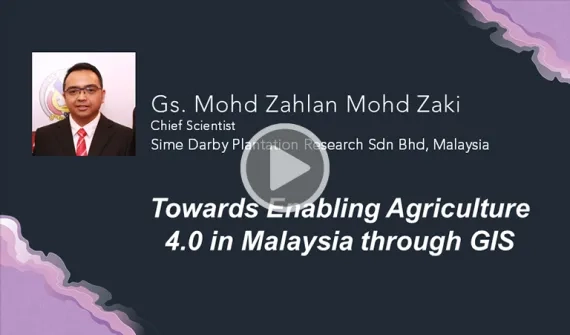
Gs. Mohd Zahlan Mohd Zaki
Chief Scientist
Sime Darby Plantation Research Sdn Bhd, Malaysia
Mohd Zahlan is an advocate for exploiting the power of Geospatial technology to improve operational efficiency and workflows to increase savings and creating new values. As Sime Darby’s Chief Scientist, he runs the Spatial Data Management and Rapid Analytics (SMART) initiative leveraging Enterprise GIS solutions to drive informed decision-making, empower stakeholders and internal subject matter experts within the company with location intelligence by integrating GIS with existing business systems and future technologies such as Internet of Things (IoT) and Artificial Intelligence (AI).
Throughout his career, spanning nearly two decades, he has led research on Unmanned Aircraft System (UAS) technology ― including studies on multispectral and hyperspectral UAS aerial imaging for oil palm health.
He co-created the geospatial-based Oil Palm Yield Forecasting system known as Carey Island Yield Forecasting System (CIFOS); co-developed Sime Darby Plantation’s Hotspot Monitoring System ― the winner of the Asia Geospatial Excellence Award 2016 for Application of Geospatial Technology in Plantation ― and created the Ground Calibration Marker unique to Sime Darby Plantation for Unmanned Aircraft System (UAS) to support reliability and accuracy of imageries taken from UAS photogrammetry.
Mohd Zahlan is a member of the Institution of Geospatial and Remote Sensing Malaysia (M396) and a registered practitioner of the International High Carbon Stock Approach and High Conservation Value (HCSA-HCV).


