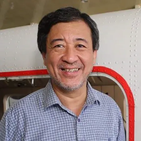
Sr Robert Cheng
Senior Assistant Director, Surveying & Mapping
Sabah Lands and Surveys Department
Robert joined the Sabah Lands and Surveys Department in 1989 as Senior Assistant Director of Control Survey and Mapping. There he established the Sabah GPS Network - SaGPSNet95 which is used by land surveyors in Sabah.
He introduced the JTUWMA services and the use of orthorectified satellite/aerial images as backdrop information in land and survey reviews. He also embarked on 3D City Models and Reality Mesh and started work on 3D Cadastre and BIM to GIS integration. He was conferred the order of Ahli Darjah Kinabalu by the Government of Sabah for his effort in the re-surveying of Mt Kinabalu to establish its summit, under Projek ISM Kinabalu in 1997.
Robert is a graduate of the University of Melbourne where he earned his Bachelor of Surveying after which he went on to receive his Master of Science in GIS and Remote Sensing from University Putra Malaysia. He is a fellow of the Royal Institution of Surveyors Malaysia and a member of the Sabah Surveyors Board, The Royal Institution of Chartered Surveyors and the Institution of Geospatial and Remote Sensing - Malaysia.
