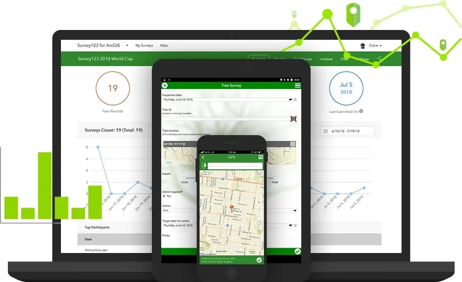
Part of the Esri Geospatial Cloud, Survey123 for ArcGIS is a complete, form-centric solution for creating, sharing and analysing surveys. Use it to create smart forms with skip logic, defaults, and support for multiple languages. Collect data via web or mobile devices, even when disconnected from the Internet. Analyse results quickly, and upload data securely for further analysis.

Anytime, anywhere

Capture data anytime, anywhere with the Survey123 for ArcGIS app. It works on smart devices, laptops, or desktops as a native app and also in the browser. Stay productive even in disconnected environments.

Smart surveys

Design surveys that enable rapid collection with predefined questions that use logic and provide easy-to-fill answers, embedded audio and images, and offer many languages. Survey123 for ArcGIS supports the XLSForm specification.

Built on ArcGIS

Data captured in Survey123 for ArcGIS is immediately available in the ArcGIS platform. Optimise your field operations, understand your data, and communicate your work.

Flexible for varied scenarios

When a project must start quickly, create a survey rapidly to start collecting data. When managing multiple teams in different locations, standardised forms keep everyone working in unison.

Work across desktop, web, and mobile

survey123

1. Quickly create powerful surveys

Use the Survey123 web app or the Survey123 Connect desktop app to create robust surveys. Both apps publish simple to complex surveys into ArcGIS.

2. Get answers from anywhere

In any environment and with minimal training, use the Survey123 web app and mobile app to record survey answers on the desktop or mobile devices.

3. Analyse results to make better decisions

Analyse answers in real-time to support decision-making. View summary analysis right in the app. Perform deeper analysis of Survey123 data in ArcGIS.

To find out more about how Survey123 can aid your field data collection, call or email a product specialist on +60 (3) 5022 0122.

How it's being used

Local and state government banner

Local Government

Following the Grenfell tower inferno in the UK, an audit of the City of Adelaide's buildings using Survey123 for ArcGIS has helped identify those with non-compliant cladding.

Find out more
electric gas utilities illustration

Utilities

Ergon Energy successfully restored power to customers affected by Tropical Cyclone Debbie using Survey123 for ArcGIS to map damage, flood and power outage areas.

Find out more
Oil, gas and petroleum banner illustration

Petroleum

Survey123 allows petroleum industry field workers to report detailed information from the field back to the office, allowing for real-time pipeline asset monitoring.

Find out more
infrastructure and public works banner illustration

Public health

NGOs, citizens and governments use Survey123 for ArcGIS to collect data and control infectious disease outbreaks in Iraq.

Find out more

Better together

Focused ArcGIS solutions, used in combination with Survey123 for ArcGIS, help you maximise efficiency in fieldwork and provide authoritative data to everyone in your organisation.

navigator-for-arcgis

Navigator for ArcGIS

Select the next task from your list. Use Navigator for ArcGIS to route to the destination and return to Survey123 when routing is complete.

Explore Navigator for ArcGIS
operations-dashboard-for-arcgis

Operations Dashboard for ArcGIS

Visualise the data generated from Survey123 in real-time dashboards to support more informed decision-making.

Discover Operations Dashboard for ArcGIS
WebAppBuilder

Web AppBuilder for ArcGIS

Use this intuitive WYSIWYG app to build a QA/QC app of your Survey123 survey submissions.

Discover Web Appbuilder for ArcGIS
app-builders

ArcGIS Apps

Use your Survey123-created data in combination with other focused apps to gain efficiencies in field activities, support informed decision making and communicate effectively.

Discover ArcGIS Apps
survery123-for-arcgis

Try Survey123 for ArcGIS

Start your free trial

Subscribe to
Esri Malaysia news