Part of the Esri Geospatial Cloud, Tracker for ArcGIS is a mobile solution that enables organisations to capture the tracks of field staff, monitor where they are, and analyse where they have been. Track patterns give decision-makers real-time information to support critical field activities and perform analysis in ArcGIS.
What Tracker for ArcGIS can do for you

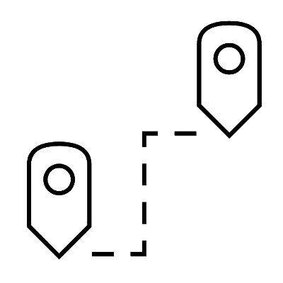

Know where everyone is
See where your personnel are at any time. Accurately identify the nearest field personnel to respond to unplanned events. Be assured that field personnel are on task and that you have them dispersed for adequate coverage of the relevant area.
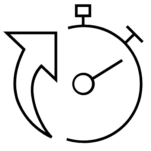
Detect patterns
Analyse where field personnel have been to gain greater understanding. Verify that territories were fully covered and discover areas that may be missing or redundant. More accurately assess the integrity of grid patterns when performing map-based search operations.
Promote efficiency
Empower supervisors to view the tracks of the staff they manage for operational insights. Use track analysis with contextually relevant data to identify where field productivity is being gained or lost.
Enable collaboration
Use track analysis to inform cross-department planning and coordination of field activities. Provide data to support collaboration between teams that enforce operational standards. Analyse track movements to see where compliance requirements are and are not being met.
Get the benefits of ArcGIS
Benefit from knowing that your location track data is owned by your organisation, within the secure and reliable ArcGIS platform that makes it easy to control who has permission to view tracks. The data is stored and managed right in ArcGIS, and readily available for reference and analysis.
Interested to learn more about how Tracker for ArcGIS can enhance your workforce? Email an ArcGIS specialist or call on +60 (3) 5022 0122.
How Tracker works
Tracker for ArcGIS
mobile app
Mobile users control when they are tracked. The app records tracks even with no data connection and with minimal battery impact.
Track Viewer web app
Administrators and those with permission to view tracks can explore, visualise, and interrogate tracks using the web app.
Location tracking feature service
With location tracking enabled, tracks are stored and managed as point features within a highly performant big data store in ArcGIS.