
Esri Malaysia | Home

Main navigation Malaysia

  • Industries
    • Commercial
      • Architecture, engineering and construction
      • Electricity
      • Insurance and banking
      • Oil, gas and renewable energy
      • Plantation
      • Retail
      • Telecommunications
      • Transport and logistics
      • Water
    • Government
      • Central government
      • Citizen engagement
      • Demographics and statistics
      • Emergency management
      • Health and human services
      • Land management
      • Law enforcement
      • Local government
      • Mapping and charting
      • National security
      • Public works
      • Safe communities
      • Smart communities
      • Spatial data infrastructure
      • State government
    • Community
      • Education
      • Esri Young Scholar Award
      • Non-profit
  • Products
    • Capabilities
      • Digital twins
      • Field operations
      • Imagery and remote-sensing
      • Real-time visualisation and analytics
      • Spatial analytics
    • About ArcGIS
      • ArcGIS Online
      • ArcGIS Pro
      • ArcGIS Enterprise
      • ArcGIS Location Platform
      • ArcGIS Developer
      • ArcGIS for Personal Use
      • ArcGIS Online free trial
      • See other Esri products
    • Applications
      • E-government solutions
      • Apps for the Office
      • Field Operations
      • Apps for the Community
      • Geo-Precision Agriculture Solution
      • NV5 Geospatial
    • Data
      • GIS data
      • Open Data
      • Data Interoperability
      • Open Standards
      • Esri’s Open Vision
  • Services and support
    • Professional Services
      • ArcGIS maintenance
      • Project deployment & support
      • Business consultancy
      • Project advisory support
      • Service credits
      • Service Plus Package
      • Enterprise support
      • Embedded engineer
      • Enterprise GIS consulting
      • ArcGIS Enterprise upgrade
      • Disaster Response Program
    • Technical support
      • Esri Support App
      • Support request
    • Training
      • Training calendar
      • Training courses
      • Training FAQs
      • Submit a training enquiry
    • ArcGIS resources
      • A quick-start guide to ArcGIS Pro
      • ArcGIS user types
      • ArcGIS product licensing
  • News and events
    • News
      • Subscribe to news
    • Blog
    • Podcast
      • Esri podcast network
    • Events calendar
      • Webinars
      • Past event presentations
  • About
    • Esri Malaysia
      • Our people
      • Our history
      • Our relationship with Esri
      • Our relationship with Boustead
      • Our partner program
    • GIS technology
      • About Esri
      • Jack Dangermond
      • History of GIS
      • About location analytics
      • Esri Map Gallery
    • Careers
      • Our values
      • Our people
      • Browse jobs
    • Contact us
      • Sales and services (Malaysia)
      • Sales and services (Brunei)
      • Training
      • Support
      • General enquiries
      • Subscribe
Fatin Rahayu

Fatin Rahayu

Consultant, Industry
Esri Malaysia

As a Industry Consultant with Esri Malaysia, Fatin’s work focuses on the plantation and national government sectors.

With five years of experience in the geospatial industry, Fatin has experience in collaboration between GIS and IT as a technologist, and in GIS-Civil Engineering as a GIS Executive. Fatin holds a bachelor degree of Science in Geoinformatics from Universiti Teknologi Malaysia (UTM) and a Master in Geographical Information Science from Universiti Teknologi Mara (UiTM).

ArcGIS for smarter business strategies
Mar 13
Webinar ArcGIS for smarter business strategies Join our 30-minute webinar to see how ArcGIS turns location data into smarter business decisions. Learn More
AEC
Sep 5
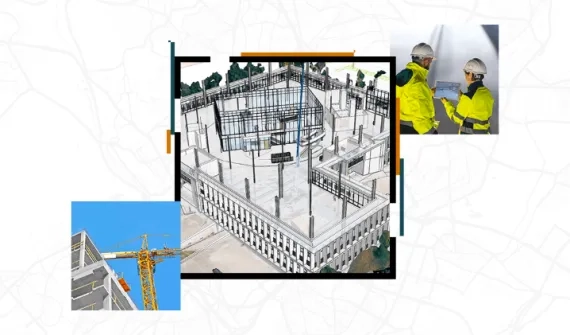
Webinar Enhancing AEC projects with ArcGIS Learn how leveraging location intelligence revolutionises AEC workflows, adds context to projects and transforms how you plan, design, build and operate in the built and natural environment. Learn More
Digitally transforming the plantation business cycle_card
Video Digitally transforming the plantation business cycle

Presented at PALMEX 2022, watch this 27-minute video demo showcasing GIS capabilities in land use, monitoring of harvesting and replanting as well as pest and disease management.

More
Get started with ArcGIS Enterprise Sites and ArcGIS Hub video card
Get started with ArcGIS Enterprise Sites and ArcGIS Hub

Explore ArcGIS Hub and ArcGIS Enterprise Sites and find out how to package websites, initiatives, events, and web applications to engage your stakeholders in focused ways. 

Learn more
Esri Malaysia | Home

Footer menu

  • Sitemap
  • Privacy
  • Website Terms and Conditions

© 2026 Esri Malaysia All rights reserved.