Smarter water operations with GIS
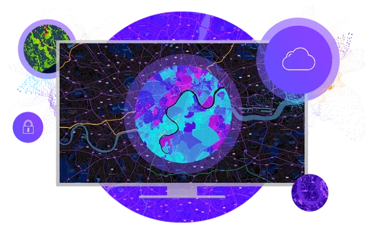
Transform water, wastewater, and stormwater management through real-time visibility, intelligent asset management, and data-driven decision-making. Access to clean, reliable water is critical. Water is fundamental to national and local economic well-being and protection of life and property. Effective management of our most precious resource is essential to ensure sustainability.
Water utility challenges we solve



Implement workflows that optimise water management profitability. Analyse projects and facilitate the sharing of asset information with stakeholders, enabling informed planning and effective resource allocation.
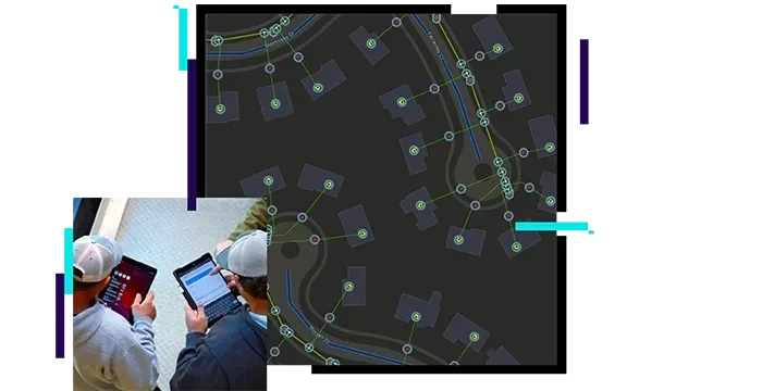
Transforms water operations and delivery with user-friendly ArcGIS apps that enhance team collaboration and decision-making. These tools offer real-time operational views for office and field staff, ensuring efficient responses.
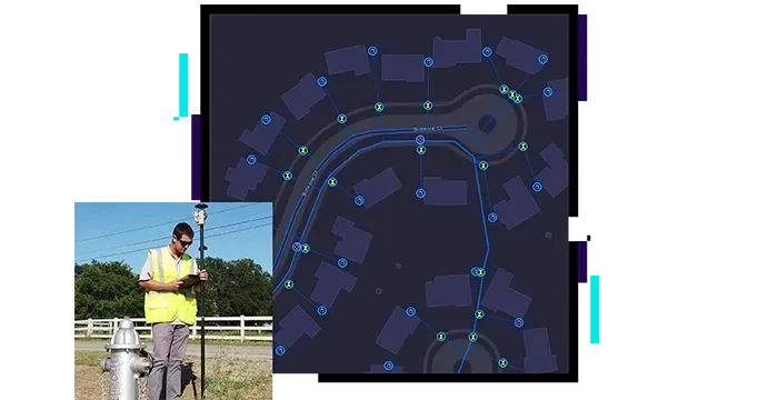
Collect data, track water assets, and monitor infrastructure performance. GIS maintains historical records for efficient facilities management and maintenance, reducing downtime and enhancing service delivery.
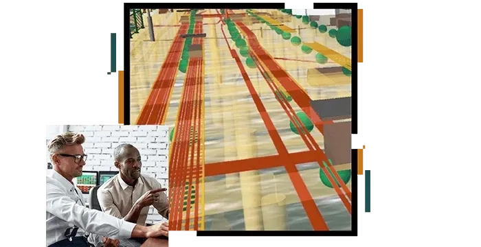
Provide and share vital information with customer service teams and the public to enhance satisfaction. Use intuitive maps and apps for real-time data promoting transparency and understanding.
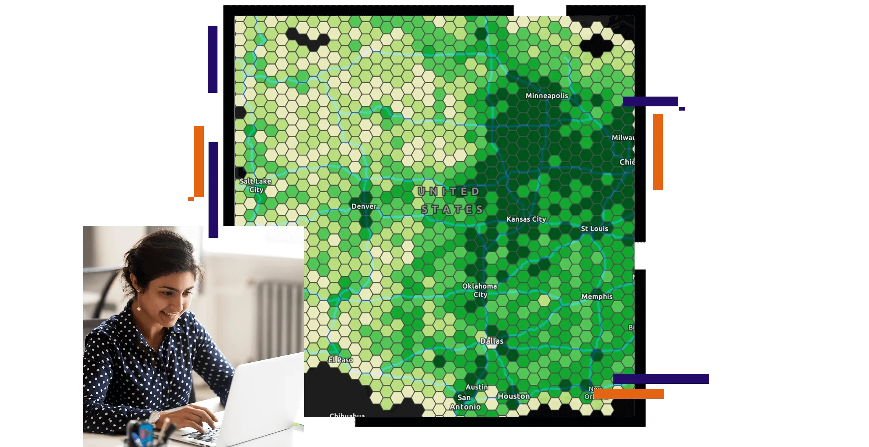
Visualise environmental impacts, monitor water quality, and assess pollution levels. Analysing spatial patterns helps identify issues and ensures compliance with regulations, promoting sustainable water management.
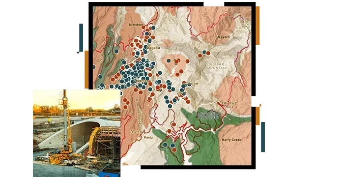
Transform water utility operations with spatial intelligence
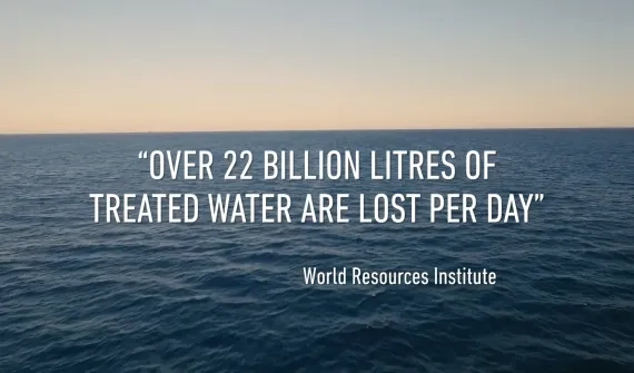
Water utilities face increasing pressure to reduce non-revenue water, improve operational efficiency, modernise ageing infrastructure, and deliver reliable water services. Esri provides an integrated platform that helps utilities connect people, assets, and data to support smarter operations and digital transformation.
Manage water infrastructure
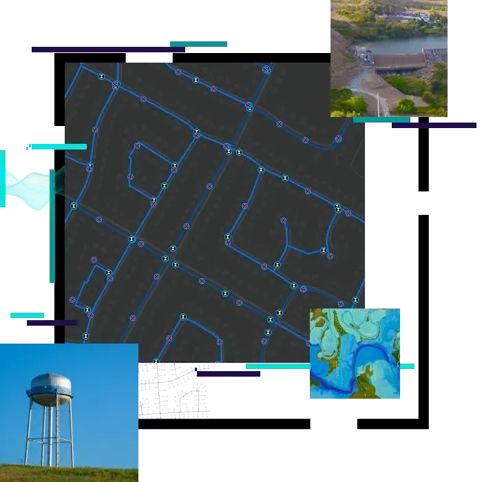
Gain greater visibility across your water network, improve asset management, and support long-term infrastructure planning.
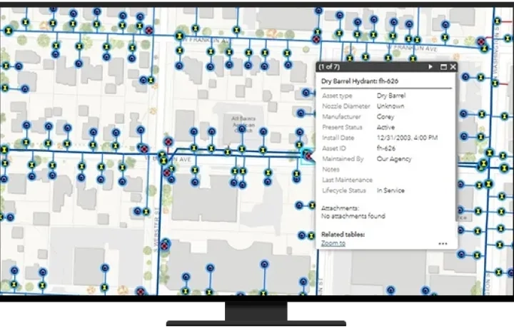
Monitor operations in real time
Monitor assets, networks, and operational events as they happen to improve situational awareness and response.
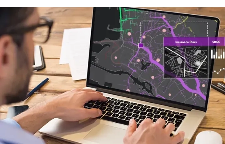
Empower field teams
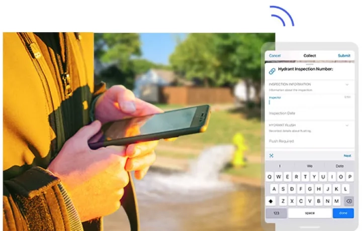
Connect office and field teams with mobile tools for inspections, maintenance, data collection, and reporting.
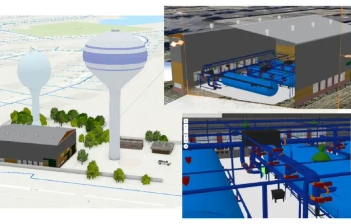
Visualise with Digital Twins
Create a dynamic view of water infrastructure to support planning, collaboration, and operational decision-making.
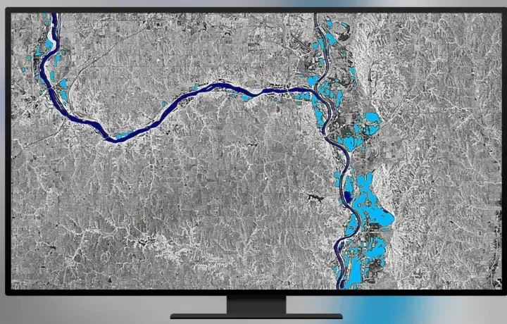
Monitor change at scale
Leverage satellite, drone, and aerial imagery to monitor catchments, assess infrastructure, and support environmental management.
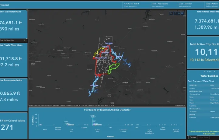
Turn data into operational intelligence
Transform operational and asset data into actionable insights that support smarter decisions and improved performance.
Connect the enterprise
Create a single source of truth that connects people, systems, assets, and information across the organisation.