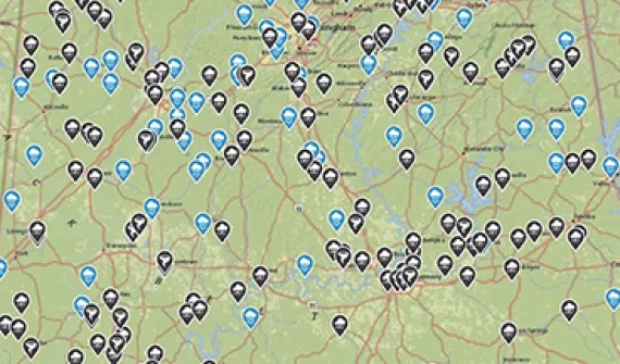
Visualise populations, identify community resources, enable disease monitoring and connect community stakeholders to maintain healthy communities.
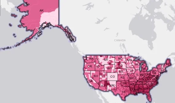
Visualise populations, identify community resources, enable disease monitoring and connect community stakeholders to maintain healthy communities.