You are here News and events Events calendar Directions LIVE 2020 Presentations Presentations Morning plenary Welcome to Directions LIVE 2020 Presenter: CS Tan, Esri Malaysia Esri Malaysia's CEO, CS Tan, shares his vision for the capabilities and future of GIS in an increasingly complex and interconnected world. Learn more Enabling Malaysia's Agriculture 4.0 Presenter: Mohd Zahlan Mohd Zaki, Sime Darby Research Discover how a modern GIS — coupled with the Internet of Things and Artificial Intelligence — is enabling Agriculture 4.0 in Malaysia and transforming one of the country’s oldest industries. Learn more Presentation Future Tech: A look at what's to come Presenters: Joanne Loh and Amir Faisal, Esri Malaysia Get a summary of the latest platform updates and take a look at the future of Esri tech to understand how geospatial infrastructure is transforming organisations. Learn more Engage Transformational solutions for local government Presenter: Alvin Khaw, Esri Malaysia Explore how government agencies can leverage a suite of business continuity solutions to address common workflows and processes and discover the benefits of visualising data using dashboards. Learn more Enhance insights with data visualisation Presenter: Nur Farhana, Esri Malaysia Discover the ArcGIS tools used to analyse big data and see how you can leverage new mapping capabilities to drive informed decision making. Learn more Get started with ArcGIS Experience Builder Presenter: Amir Faisal, Esri Malaysia Learn how to quickly transform your data into compelling web apps without writing a single line of code and support informed decision making. Learn more Geo-Precision Agriculture Presenter: Luk Ing Ping Go behind the scenes of the digital transformation that is currently unfolding in the agriculture and plantation sectors and see how connected information is key to effective plantation operation. Learn more Real-time situational awareness Presenter: Azlina Mahad, Esri Malaysia Take a closer look at the data workflows, resources, templates and ready-to-use apps for emergency management that help you understand the impact of an incident on public infrastructure and human populations. Learn more 10 steps for better disaster preparedness Presenter: Wan Mohamed Nazmeen, Esri Malaysia Discover how to support emergency management and disaster response efforts and create safer, less vulnerable communities. Learn more Achieve Ready-to-use tools for contact tracing Presenter: Firdaus Asri, Esri Malaysia Watch how the proximity tracing tool can help you identify individuals within pre-defined parameters of a contagious person and get a closer look at the ready-to-use tools helping global organisations understand the spread of COVID-19. Learn more Smart planning with ArcGIS Urban & Indoors Presenter: Lo Kit Yeng, Esri Malaysia Explore the immersive 3D experiences of ArcGIS Urban and ArcGIS Indoors to see how future cities are being designed and how facility management is optimised. Learn more GeoAI: Object detection & predictive analytics Presenter: Afif Bakar, Esri Malaysia Explore different examples of how GeoAI is unlocking many possibilities that weren’t possible before. Learn more A digital transformation journey to smart city status Presenter: Nurul Sheema Abdul Rahman, Shah Alam City Council Follow Shah Alam City’s digital transformation journey to becoming a smart city and hear the lessons learned along the way. Learn more ArcGIS Monitor: An introduction Presenter: Mohd Akmal Bin Jasman, Esri Malaysia Discover how you can monitor your ArcGIS implementations and maintain awareness of system usage to get the most from your GIS and IT investments. Learn more LocateXT: Managing unstructured data Presenter: Patihe Suip Discover how to extract geo-coordinates, place names, and other critical information from unstructured text and place them instantly on a map using LocateXT. Learn more Afternoon plenary GIS development in solid waste management industries Presenter: Abdul Rahman bin Yahya, E-Idaman Hear how waste management operator, E-Idaman, has extended spatial data to support non-GIS staff across the organisation and go behind the scenes of their innovative solution. Learn more Working in an interconnected world Presenter: Eric Yee, Esri Malaysia Hear how the capacity to connect information, processes and workflows into a single consolidated view gives us better insights into any situation and allows us to be more responsive. Learn more
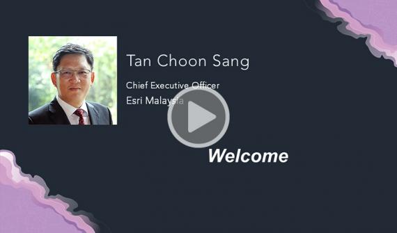
Welcome to Directions LIVE 2020 Presenter: CS Tan, Esri Malaysia Esri Malaysia's CEO, CS Tan, shares his vision for the capabilities and future of GIS in an increasingly complex and interconnected world. Learn more
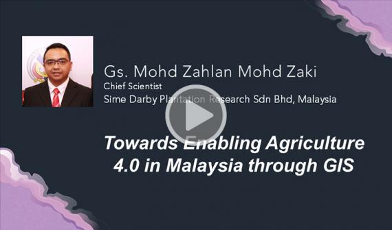
Enabling Malaysia's Agriculture 4.0 Presenter: Mohd Zahlan Mohd Zaki, Sime Darby Research Discover how a modern GIS — coupled with the Internet of Things and Artificial Intelligence — is enabling Agriculture 4.0 in Malaysia and transforming one of the country’s oldest industries. Learn more
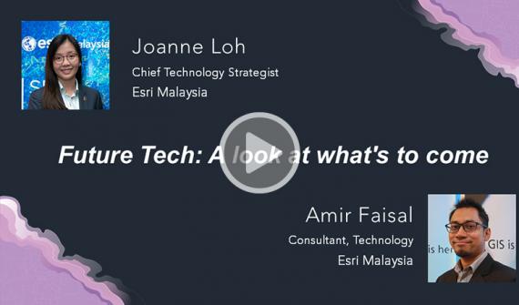
Presentation Future Tech: A look at what's to come Presenters: Joanne Loh and Amir Faisal, Esri Malaysia Get a summary of the latest platform updates and take a look at the future of Esri tech to understand how geospatial infrastructure is transforming organisations. Learn more
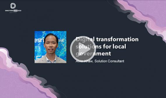
Transformational solutions for local government Presenter: Alvin Khaw, Esri Malaysia Explore how government agencies can leverage a suite of business continuity solutions to address common workflows and processes and discover the benefits of visualising data using dashboards. Learn more
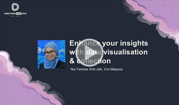
Enhance insights with data visualisation Presenter: Nur Farhana, Esri Malaysia Discover the ArcGIS tools used to analyse big data and see how you can leverage new mapping capabilities to drive informed decision making. Learn more
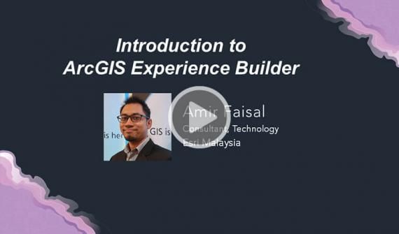
Get started with ArcGIS Experience Builder Presenter: Amir Faisal, Esri Malaysia Learn how to quickly transform your data into compelling web apps without writing a single line of code and support informed decision making. Learn more
Geo-Precision Agriculture Presenter: Luk Ing Ping Go behind the scenes of the digital transformation that is currently unfolding in the agriculture and plantation sectors and see how connected information is key to effective plantation operation. Learn more
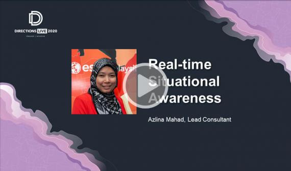
Real-time situational awareness Presenter: Azlina Mahad, Esri Malaysia Take a closer look at the data workflows, resources, templates and ready-to-use apps for emergency management that help you understand the impact of an incident on public infrastructure and human populations. Learn more
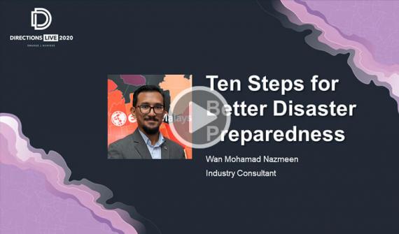
10 steps for better disaster preparedness Presenter: Wan Mohamed Nazmeen, Esri Malaysia Discover how to support emergency management and disaster response efforts and create safer, less vulnerable communities. Learn more
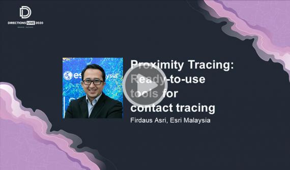
Ready-to-use tools for contact tracing Presenter: Firdaus Asri, Esri Malaysia Watch how the proximity tracing tool can help you identify individuals within pre-defined parameters of a contagious person and get a closer look at the ready-to-use tools helping global organisations understand the spread of COVID-19. Learn more
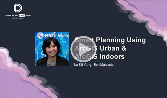
Smart planning with ArcGIS Urban & Indoors Presenter: Lo Kit Yeng, Esri Malaysia Explore the immersive 3D experiences of ArcGIS Urban and ArcGIS Indoors to see how future cities are being designed and how facility management is optimised. Learn more
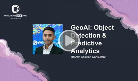
GeoAI: Object detection & predictive analytics Presenter: Afif Bakar, Esri Malaysia Explore different examples of how GeoAI is unlocking many possibilities that weren’t possible before. Learn more
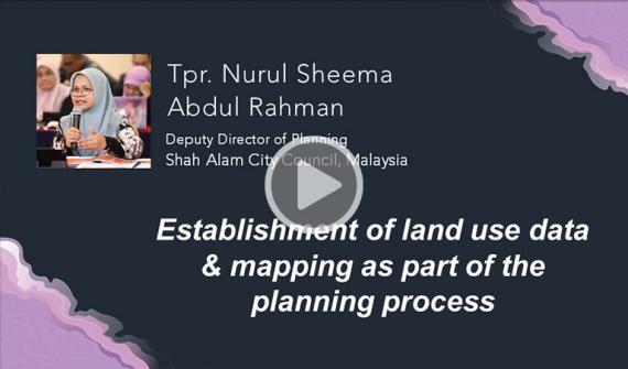
A digital transformation journey to smart city status Presenter: Nurul Sheema Abdul Rahman, Shah Alam City Council Follow Shah Alam City’s digital transformation journey to becoming a smart city and hear the lessons learned along the way. Learn more
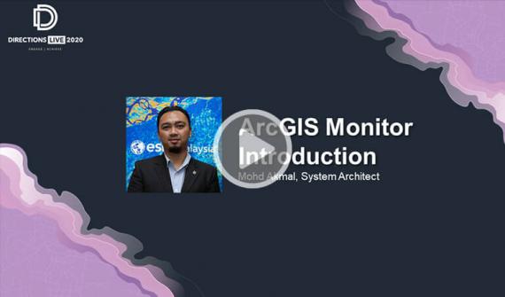
ArcGIS Monitor: An introduction Presenter: Mohd Akmal Bin Jasman, Esri Malaysia Discover how you can monitor your ArcGIS implementations and maintain awareness of system usage to get the most from your GIS and IT investments. Learn more
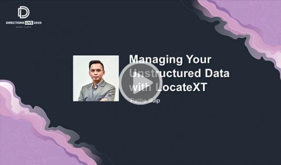
LocateXT: Managing unstructured data Presenter: Patihe Suip Discover how to extract geo-coordinates, place names, and other critical information from unstructured text and place them instantly on a map using LocateXT. Learn more
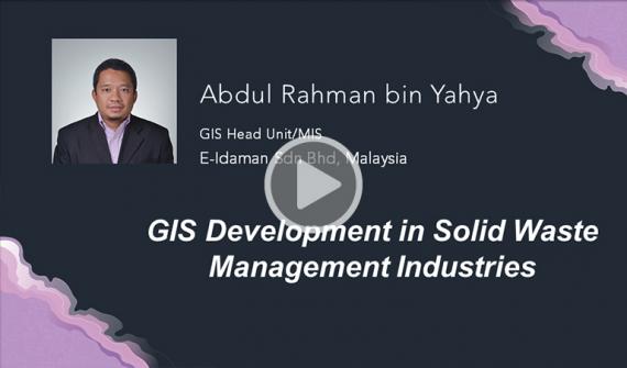
GIS development in solid waste management industries Presenter: Abdul Rahman bin Yahya, E-Idaman Hear how waste management operator, E-Idaman, has extended spatial data to support non-GIS staff across the organisation and go behind the scenes of their innovative solution. Learn more
Working in an interconnected world Presenter: Eric Yee, Esri Malaysia Hear how the capacity to connect information, processes and workflows into a single consolidated view gives us better insights into any situation and allows us to be more responsive. Learn more