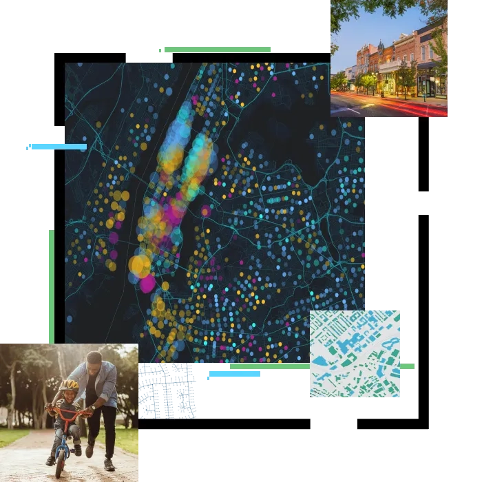
GIS shapes local government processes, workflows, policies and citizen engagement to improve environment, infrastructure, safety and planning. As a mapping platform for agile government and a tool to guide sustainable communities, GIS enables governments to modernise operations and create equitable and inclusive policies.

Technology tenets enabling smart cities

Operational efficiency_icon.jpg

Operational efficiency

Deliver good government services.

Icon_113x113_3D models.png

Planning and engineering

Support urban and community design that adapts to change.

community_icon.png

Community engagement

Connect with the community through civic engagement and social balance

Make-data-driven-decisions-icon-blk.png

Data-driven performance

Achieve insight, fueled by real-time data and analytics.

GIS in action

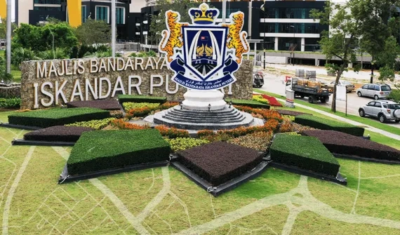
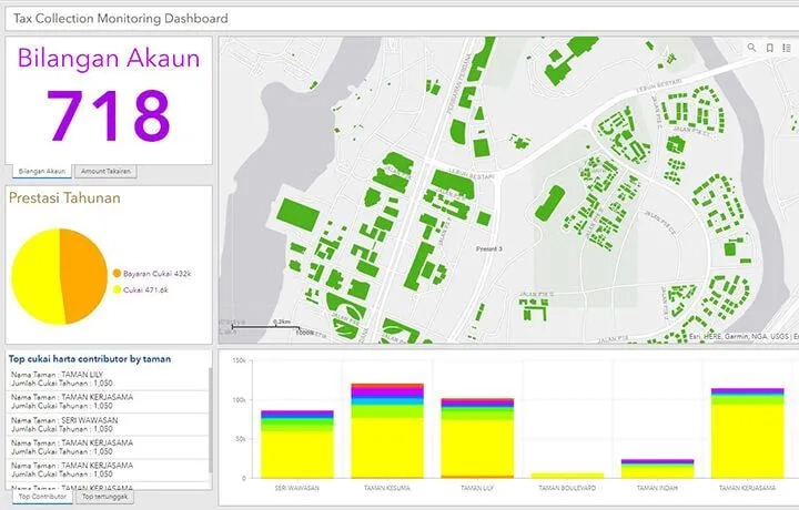
Explore how key Malaysian local governments leverage location intelligence to visualise data, enhance land use, streamline tax collection, manage heritage sites and more.
Learn more
pro-overview-banner-hero-foreground-illustration.png

Rapidly deployable solutions

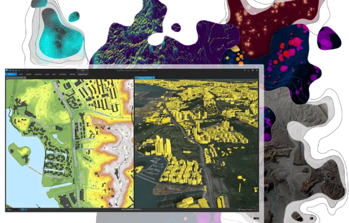
Discover the GIS applications supporting city councils to optimise their operations and better serve residents.
Get started
Tax-Collection-Dashboard_card_0.jpg

To find out more about GIS for local government, email or call +60 (3) 5022 0122.

Subscribe to
Esri Malaysia news