
Esri Malaysia | Home

Main navigation Malaysia

  • Industries
    • Commercial
      • Architecture, engineering and construction
      • Electricity
      • Insurance and banking
      • Oil, gas and renewable energy
      • Plantation
      • Retail
      • Telecommunications
      • Transport and logistics
      • Water
    • Government
      • Central government
      • Citizen engagement
      • Demographics and statistics
      • Emergency management
      • Health and human services
      • Land management
      • Law enforcement
      • Local government
      • Mapping and charting
      • National security
      • Public works
      • Safe communities
      • Smart communities
      • Spatial data infrastructure
      • State government
    • Community
      • Education
      • Esri Young Scholar Award
      • Non-profit
  • Products
    • Capabilities
      • Digital twins
      • Field operations
      • Imagery and remote-sensing
      • Real-time visualisation and analytics
      • Spatial analytics
    • About ArcGIS
      • ArcGIS Online
      • ArcGIS Pro
      • ArcGIS Enterprise
      • ArcGIS Location Platform
      • ArcGIS Developer
      • ArcGIS for Personal Use
      • ArcGIS Online free trial
      • See other Esri products
    • Applications
      • E-government solutions
      • Apps for the Office
      • Field Operations
      • Apps for the Community
      • Geo-Precision Agriculture Solution
      • NV5 Geospatial
    • Data
      • GIS data
      • Open Data
      • Data Interoperability
      • Open Standards
      • Esri’s Open Vision
  • Services and support
    • Professional Services
      • ArcGIS maintenance
      • Project deployment & support
      • Business consultancy
      • Project advisory support
      • Service credits
      • Service Plus Package
      • Enterprise support
      • Embedded engineer
      • Enterprise GIS consulting
      • ArcGIS Enterprise upgrade
      • Disaster Response Program
    • Technical support
      • Esri Support App
      • Support request
    • Training
      • Training calendar
      • Training courses
      • Training FAQs
      • Submit a training enquiry
    • ArcGIS resources
      • A quick-start guide to ArcGIS Pro
      • ArcGIS user types
      • ArcGIS product licensing
  • News and events
    • News
      • Subscribe to news
    • Blog
    • Podcast
      • Esri podcast network
    • Events calendar
      • Webinars
      • Past event presentations
  • About
    • Esri Malaysia
      • Our people
      • Our history
      • Our relationship with Esri
      • Our relationship with Boustead
      • Our partner program
    • GIS technology
      • About Esri
      • Jack Dangermond
      • History of GIS
      • About location analytics
      • Esri Map Gallery
    • Careers
      • Our values
      • Our people
      • Browse jobs
    • Contact us
      • Sales and services (Malaysia)
      • Sales and services (Brunei)
      • Training
      • Support
      • General enquiries
      • Subscribe

You are here

  • Industries
  • Commercial
  • Transport and logistics

GIS in transport and logistics

Connect with a specialist
transport banner illustration

Leverage advanced GIS technology to plan, monitor and manage complex transport and logistics networks more effectively, improving route planning, fleet visibility and efficiency.


MRT Corp presentation card image
Ground-breaking fusion of BIM & GIS

Go behind the scenes of Asia’s first cloud-based GIS deployment to fully integrate BIM and reality modelling into ArcGIS Server.

Learn more

To find out more about GIS in transport and logistics, email us or call +60 (3) 5022 0122.

How GM manages global supply chain risk
News How GM manages supply chain risk worldwide

General Motors relies on GIS technology to mitigate the business risk of supply-chain failure for the global production of more than 10 million vehicles a year.

More
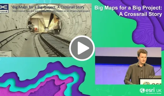
Managing networks the London Crossrail story
Video Managing networks: The story of London's Crossrail

One of the United Kingdom's largest underground infrastructure projects, Crossrail, relies on the ArcGIS platform to remain on time and on budget.

More
Esri Malaysia | Home

Footer menu

  • Sitemap
  • Privacy
  • Website Terms and Conditions

© 2026 Esri Malaysia All rights reserved.