
Esri Malaysia | Home

Main navigation Malaysia

  • Industries
    • Commercial
      • Architecture, engineering and construction
      • Electricity
      • Insurance and banking
      • Oil, gas and renewable energy
      • Plantation
      • Retail
      • Telecommunications
      • Transport and logistics
      • Water
    • Government
      • Central government
      • Citizen engagement
      • Demographics and statistics
      • Emergency management
      • Health and human services
      • Land management
      • Law enforcement
      • Local government
      • Mapping and charting
      • National security
      • Public works
      • Safe communities
      • Smart communities
      • Spatial data infrastructure
      • State government
    • Community
      • Education
      • Esri Young Scholar Award
      • Non-profit
  • Products
    • Capabilities
      • Digital twins
      • Field operations
      • Imagery and remote-sensing
      • Real-time visualisation and analytics
      • Spatial analytics
    • About ArcGIS
      • ArcGIS Online
      • ArcGIS Pro
      • ArcGIS Enterprise
      • ArcGIS Location Platform
      • ArcGIS Developer
      • ArcGIS for Personal Use
      • ArcGIS Online free trial
      • See other Esri products
    • Applications
      • E-government solutions
      • Apps for the Office
      • Field Operations
      • Apps for the Community
      • Geo-Precision Agriculture Solution
      • NV5 Geospatial
    • Data
      • GIS data
      • Open Data
      • Data Interoperability
      • Open Standards
      • Esri’s Open Vision
  • Services and support
    • Professional Services
      • ArcGIS maintenance
      • Project deployment & support
      • Business consultancy
      • Project advisory support
      • Service credits
      • Service Plus Package
      • Enterprise support
      • Embedded engineer
      • Enterprise GIS consulting
      • ArcGIS Enterprise upgrade
      • Disaster Response Program
    • Technical support
      • Esri Support App
      • Support request
    • Training
      • Training calendar
      • Training courses
      • Training FAQs
      • Submit a training enquiry
    • ArcGIS resources
      • A quick-start guide to ArcGIS Pro
      • ArcGIS user types
      • ArcGIS product licensing
  • News and events
    • News
      • Subscribe to news
    • Blog
    • Podcast
      • Esri podcast network
    • Events calendar
      • Webinars
      • Past event presentations
  • About
    • Esri Malaysia
      • Our people
      • Our history
      • Our relationship with Esri
      • Our relationship with Boustead
      • Our partner program
    • GIS technology
      • About Esri
      • Jack Dangermond
      • History of GIS
      • About location analytics
      • Esri Map Gallery
    • Careers
      • Our values
      • Our people
      • Browse jobs
    • Contact us
      • Sales and services (Malaysia)
      • Sales and services (Brunei)
      • Training
      • Support
      • General enquiries
      • Subscribe

You are here

  • Industries
  • Government
  • Public works

GIS in public works

Connect with a specialist
Infrastructure and public works banner illustration

Malaysian public works and waste management operators increasingly leverage GIS technology to enable more precise budgeting, informed decision-making, and streamlined costs while delivering environmental and economic benefits.

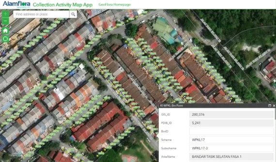
Alamflora presents on Geoflora at GeoInnovation Awards
Video Reimagining waste management

Hear how GeoFlora — Alam Flora's digital environmental solution — is leading the way towards industry 4.0 and enhancing operations.  

More
Alam Flora web card image.png
Case study Closing the loop to a circular economy

Find out how Malaysia's primary solid waste management organisation, Alam Flora digitally consolidated geospatial data into a collaborative platform to accelerate strategic, tactical, and operational decision-making, enhancing waste management services

More

For more information on how to GIS can help manage public works projects and waste management operations, email us or call +60 (3) 5022 0122 to speak to an Esri Malaysia specialist.

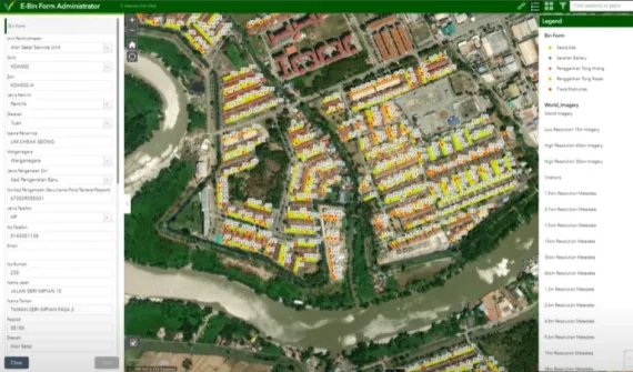
e-Idaman web card.png
Video Eliminating the paper trail

Hear how waste management operator, E-Idaman, has extended spatial data to support non-GIS staff across the organisation and go behind the scenes of their innovative solution.

More
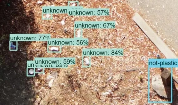
drone powered trash tracking.png
Blog Enhancing trash monitoring with artificial intelligence

Discover how AI and drone-powered trash tracking is making monitoring waste management a breeze.

More
Esri Malaysia | Home

Footer menu

  • Sitemap
  • Privacy
  • Website Terms and Conditions

© 2026 Esri Malaysia All rights reserved.