Esri will be showcasing its latest innovations and advances in Geographic Information Systems (GIS) for the Oil & Gas industry. Learn how you can combine data, identify patterns, and make new connections.
Through this technology, you can extend mapping and analytics throughout your enterprise to See What Others Can’t.
Stop by the Esri booth (E2) to meet our Solution Specialists and attend their scheduled presentations.
Tuesday 29 October
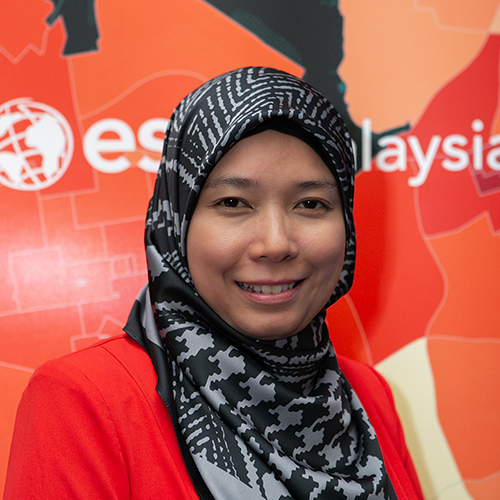
Seismic 3D Visualisation, Azlina Mahad
10am – 10:15am | 12:30pm – 12:45pm
Solutions to visualise 3D and 2D seismic volumes together with other subsurface data.
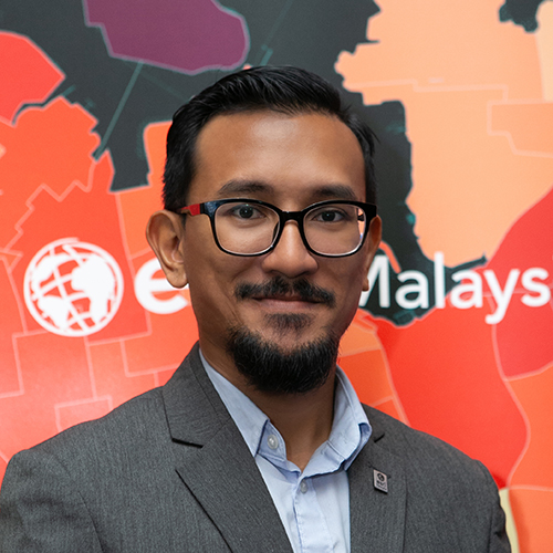
Data Management, Wan Mohamad Nazmeen
1pm – 1:15pm | 3:15pm – 3:30pm
The ArcGIS platform provides a complete solution that gives you the flexibility to store, edit, and manage data from various sources that integrates with your existing processes.
GIS Technology in Digital Transformation, Azlina Mahad
3:30pm - 4pm | Presentation corner at APGCE exhibition hall
This session will share how GIS is facilitating digital transformation in the Oil & Gas industry, and how geospatial technology will play a major role in creating greater efficiency and improved business performance.
Wednesday 30 October
Analytics, Azlina Mahad
9am – 9:15am | 12:30pm – 12:45pm | 3:15pm – 3:30pm
Esri location analytics combines business analytics and geography to provide enterprise mapping visualisation, information enrichment, and advanced spatial analysis.
Highlights
- See how 3D and 2D seismic volumes are combined and visualised with other subsurface data
- Equip yourselves with the latest geoscience innovations, tools, and best practices in the oil and gas industry
- Learn about ArcGIS' flexibility in storing, editing, and managing data from various sources, while fully integrated with existing processes
- Discover how location analytics provides mapping visualisation and advanced spatial analysis for your organisation


