You are here News and events News News Search news Search by year All 2026 2025 2024 2023 2022 2021 2020 2019 2018 2017 2016 2015 2014 2013 2012 Tags - Any - 3D ABS AEC Agile Agribusiness Agriculture Analytics Apps AppStudio ArcGIS ArcGIS 10.5 ArcGIS 10.6 ArcGIS Enterprise ArcGIS Hub ArcGIS Indoors ArcGIS Monitor ArcGIS Online ArcGIS Pro Artificial intelligence Asset management Augmented reality Australian Bureau of Statistics Autodesk Banking BI Big Data Big Data Analytics BIM Border Patrol Business Business Intelligence Cadastre California Coastline Citizen engagement Cloud Cloud computing Cloud GIS Collector Commercial Commercial property Community Content Coronavirus Council COVID-19 Crisis Crowdsourcing Data Data analytics Data visualisation Deep learning Defence and intelligence Dekho Design Digital transformation Disruptive apps Drones E-government E-Idaman Education EISB eLearning Election Electorate Electric Electricity Emergency management Emergency response Emergency services EMUC 2018 - Adopt EMUC 2018 - Afternoon plenary EMUC 2018 - Deepen EMUC 2018 - Extend EMUC 2018 - Plenary EMUC 2019 - Extend Energy Energy, oil, gas and renewables Engineering Enterprise GIS ENVI Environmental management Esri Esri Australia Esri Malaysia Esri Petroleum Conference Esri UC Esri Young Scholars Award Events Federal government Financial institutions Financial services Food security Forestry Forrester Gas GDA2020 GDA94 Geo hub GeoAI GeoAnalytics Geographic datum Geographic Information Systems GeoInnovation Award GeoInnovation Awards Geospatial Analytics GIS GIS for health GIS for schools GIS in land administration GIS in Telecommunications - feature GIS manager GIS server software GIS technology GIS web services Government Health Health and human services Homeland Security Icon Water IDL Imagery Impact Awards Indoor navigation Innovation Insights for ArcGIS Insurance Insurance and Banking Interactive maps Internet of Things Internship Interoperability IoT Jack Dangermond JavaScript Kerajaan Negeri Sembilan Land Administration Land management Laura Dangermond Law enforcement Live data Live sensors Local government Location intelligence Location-based analytics Logistics Machine learning Mapping Mapping and charting Maps Maritime Media Microsoft Azure Mining Mobile Mobile applications Mobile GIS Mount Agung MRT Corp National development National Security Not for profit OH&S Oil oil & gas Open data Open platform Operational awareness Oz Minerals Ozri Partnership Petroleum PETRONAS Planning Ports Predictive analysis Products Public safety Public sector Queensland Globe Raster data Real-time analytics Remote sensing Resilient communities Resources Retail ROI SaaS Sabah Lands and Surveys Department Safe communities SAG Awards SAP SAR Imagery SARscape Satellite imagery Sensors Smart cities Smart communities Smart transport SmarterWX Soil health Solar eclipse Spatial data infrastructure solutions Speculative design Startups State government Story maps Supply chain management Survey123 Sustainable development Telco Telecommunications Training Transformation Transport Transport analytics Transport and Infrastructure Transportation UI Unearthed Challenge United Nations Unmanned Aerial Vehicles Urban analytics Urban planning User experience User interface User research Utilities Utility network UX UXG Virtual reality Water Waterfall Web GIS WHO Working lands Smart mapping technology is the future of crime fighting in Malaysia Many of the world's leading public safety and national security agencies leverage GIS to improve the efficiency, effectiveness and impact of public safety and national security services. Learn more Smart map offers rare glimpse of Singapore's past An interactive smart mapping application allows visitors to see how Singapore’s cityscape has transformed from 1852 to today and offering a richer understanding of its history. Learn more Global competition awards tech-savvy students The Esri Young Scholar Award celebrates excellence in geospatial study and the creative use of GIS technology to solve commercial and community issues. Learn more News Demand for smart mapping skill sets soars in Indonesia Several of the country’s most respected universities have signed a landmark agreement with Esri Indonesia to provide students with broad access to advanced smart mapping technology. Learn more News Smart mapping technology takes STEM education to new heights Students of Kranji Secondary School try their hand at using GIS technology to highlight what makes Kampong Glam a tourist destination. Learn more News MoU brings national security R&D to new heights MIMOS and leading geospatial solutions providers Esri Inc. and Esri Malaysia have signed a memorandum of understanding (MoU) that will bring the government's R&B efforts in the field of national security to new heights. Learn more News Tan Tock Seng Hospital improves patient care with smart mapping Doctors and staff at Tan Tock Seng Hospital (TTSH) are turning to smart mapping technology to design and enhance clinical services for different segments of the population. Learn more News Singapore spatial challenge receives international recognition The Singapore Land Authority (SLA) has been selected from more than 400,000 organisations worldwide to win a Special Achievement in GIS (SAG) award at the annual Esri User Conference in San Diego, California. Learn more 3D technology forges path towards smarter urban planning Learn more NUS student's urban planning project wins tech competition Learn more GIS technology to light up Singapore utility sector Learn more
Smart mapping technology is the future of crime fighting in Malaysia Many of the world's leading public safety and national security agencies leverage GIS to improve the efficiency, effectiveness and impact of public safety and national security services. Learn more
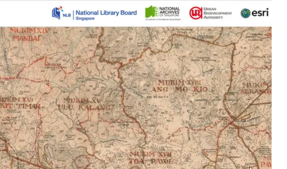
Smart map offers rare glimpse of Singapore's past An interactive smart mapping application allows visitors to see how Singapore’s cityscape has transformed from 1852 to today and offering a richer understanding of its history. Learn more
Global competition awards tech-savvy students The Esri Young Scholar Award celebrates excellence in geospatial study and the creative use of GIS technology to solve commercial and community issues. Learn more
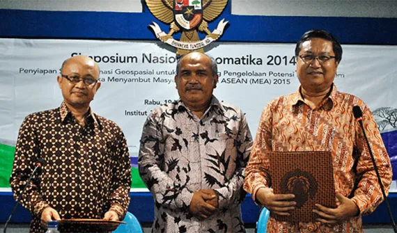
News Demand for smart mapping skill sets soars in Indonesia Several of the country’s most respected universities have signed a landmark agreement with Esri Indonesia to provide students with broad access to advanced smart mapping technology. Learn more
News Smart mapping technology takes STEM education to new heights Students of Kranji Secondary School try their hand at using GIS technology to highlight what makes Kampong Glam a tourist destination. Learn more
News MoU brings national security R&D to new heights MIMOS and leading geospatial solutions providers Esri Inc. and Esri Malaysia have signed a memorandum of understanding (MoU) that will bring the government's R&B efforts in the field of national security to new heights. Learn more
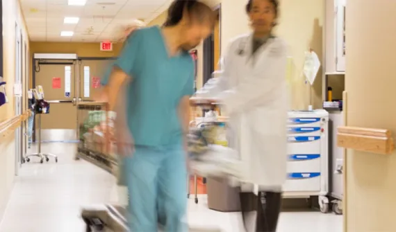
News Tan Tock Seng Hospital improves patient care with smart mapping Doctors and staff at Tan Tock Seng Hospital (TTSH) are turning to smart mapping technology to design and enhance clinical services for different segments of the population. Learn more
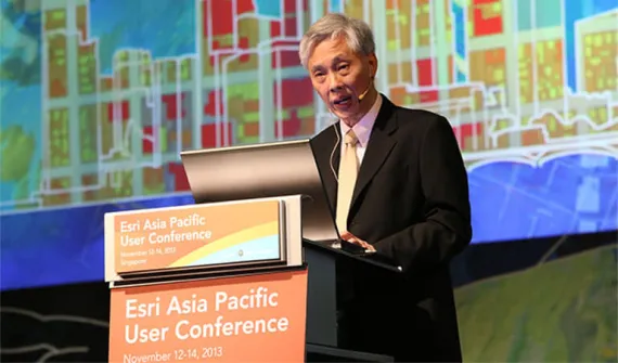
News Singapore spatial challenge receives international recognition The Singapore Land Authority (SLA) has been selected from more than 400,000 organisations worldwide to win a Special Achievement in GIS (SAG) award at the annual Esri User Conference in San Diego, California. Learn more