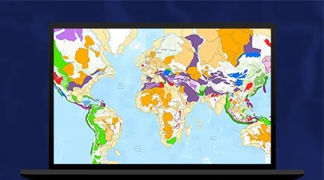
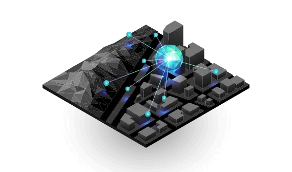
Mapping geology
Explore the tools
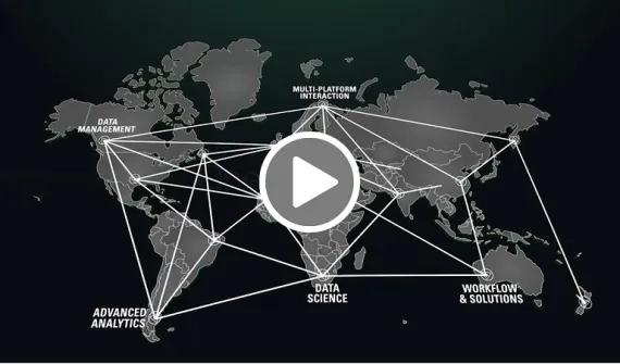
Geoscience toolkit
Products for geoscience
Global perspectives
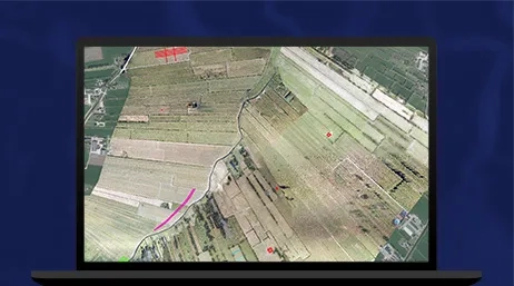
Explore global case studies
Meet the experts
Connect with the teamAt Asia Petroleum Geoscience Conference & Exhibition 2022, Esri Malaysia reveals the value of geologic mapping and modelling solutions that deliver value, enhance efficiency and support sustainability.
Connect with the team on-site or request a follow-up meeting for a closer look at mapping geoscience, 3D seismic visualisations and how spatial analytics can more accurately determine potential plays.
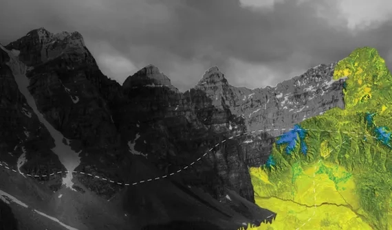
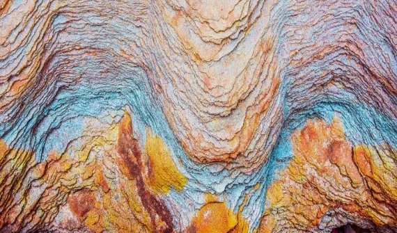
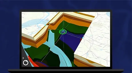
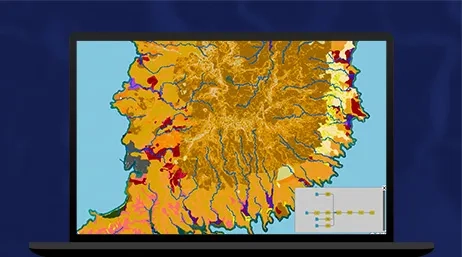
Insights into the geological landscape
Geoscience toolkit
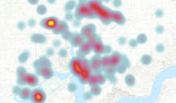
Manage and analyse at scale
Use a complete system for data management and modeling. Easily publish live, dynamic, updated data as a service for use with other applications.
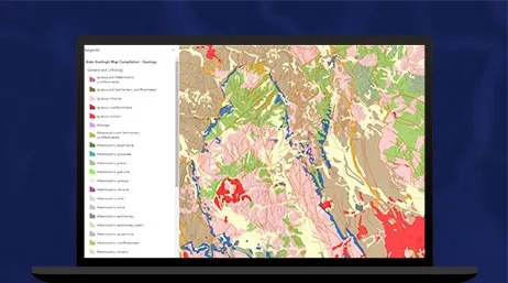
Next generation desktop GIS
Use 2D and 3D analytical tools to identify patterns, make predictions, and share information online and through mobile apps.
Hosting, streaming, and analysis in the cloud
Stream earth observations of entire regions quickly, and extract powerful insights using advanced tools.
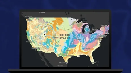
Cloud-based mapping and analyses
Work with innovative, data-driven styles and intuitive analysis tools, and create and share geoscience maps, data, and applications with others.
The all-in-one app for field collection
Streamline field data collection with mobile geology maps and tools for on-site, real-time, and location-driven data collection and editing.
A collection of curated online GIS-ready data
Access the foremost collection of geographic information from around the globe - including maps, apps, and data layers to support your work.